August 17, 2024 - Alaska Flight
Kenai - Homer Part Two
|
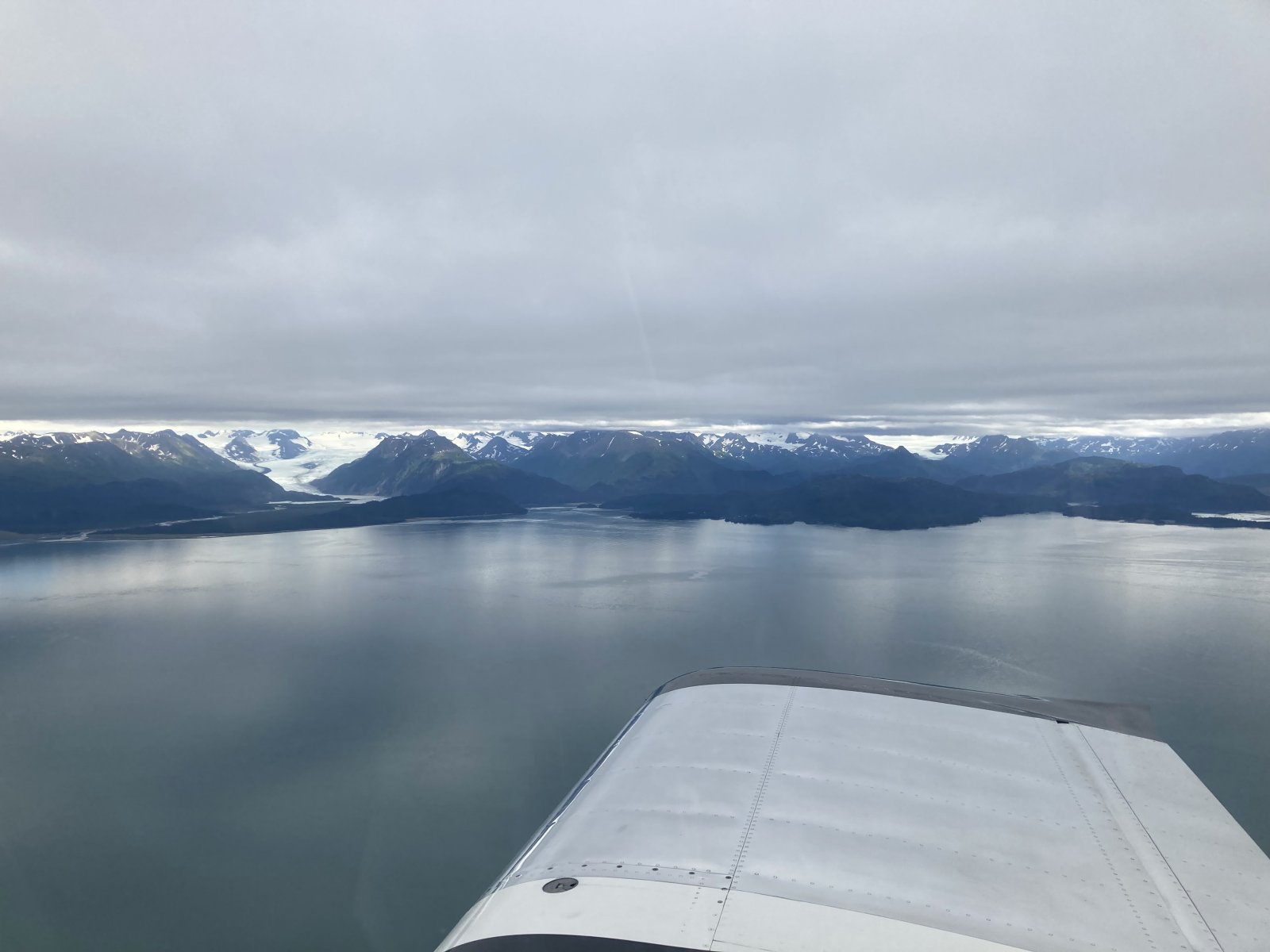
| Heading up the northwest side of the Kachemak Bay. |
| |
 |
|
| |
| |
 |
|
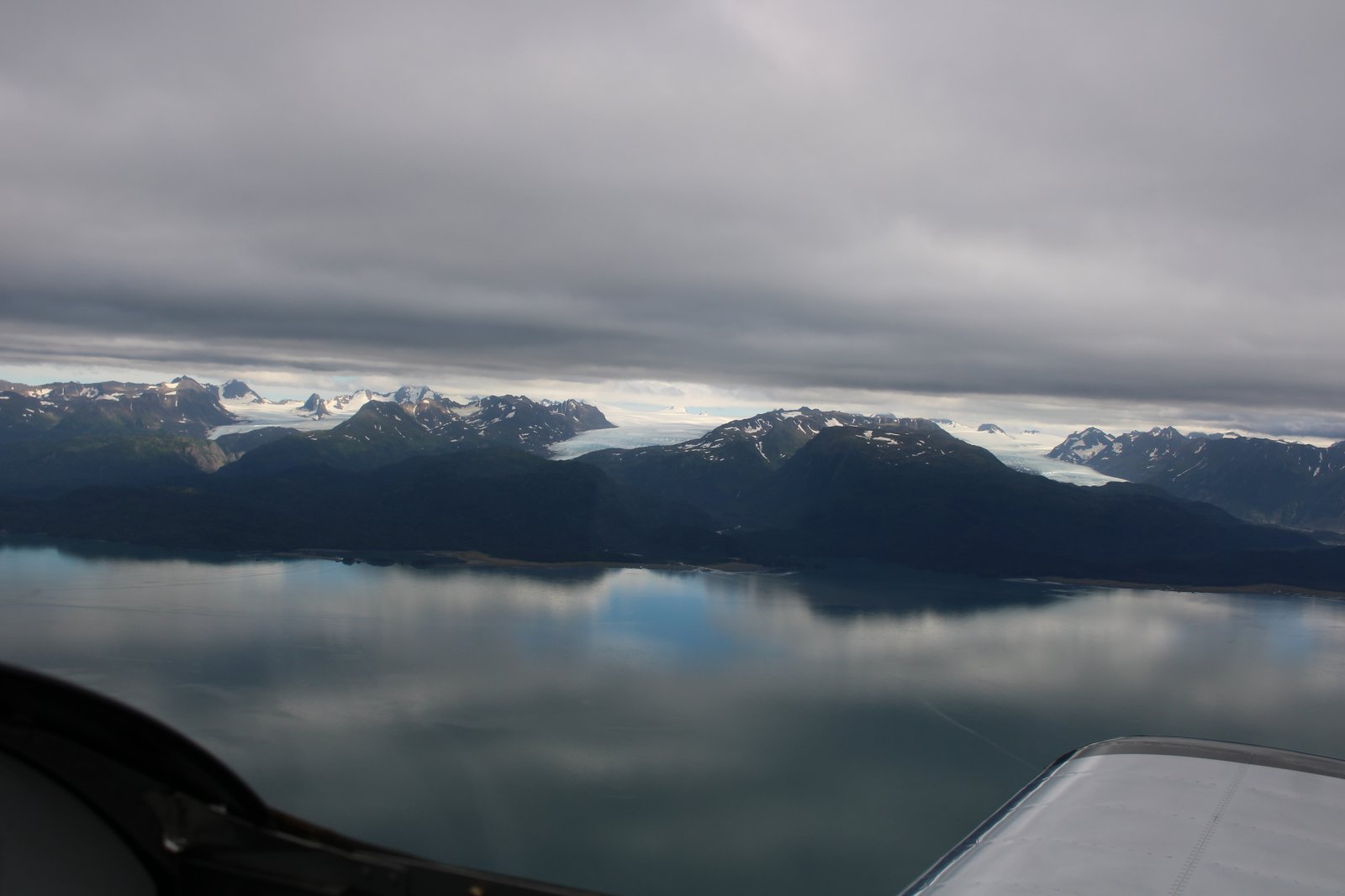
| The Three Sisters. (I just made the name up. I don't know why I did that.) |
| |
 |
|
|
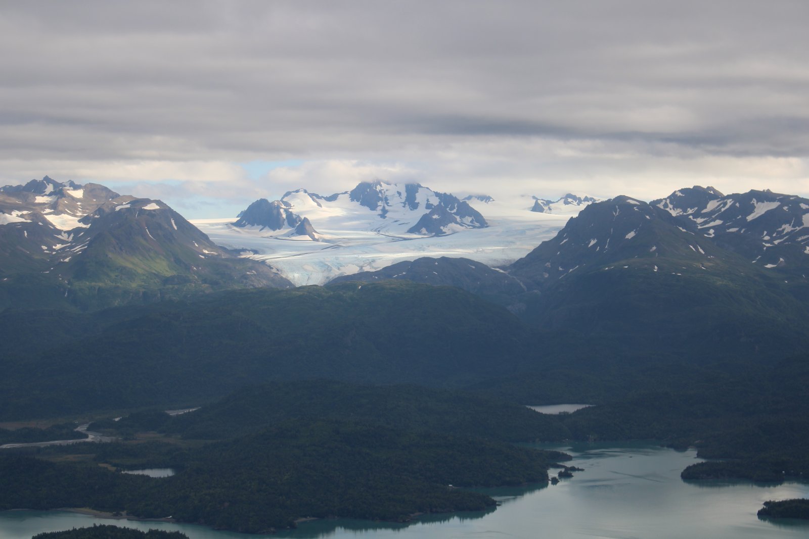
Close-up on the middle one.
|
| |
 |
|
| |
| |
 |
|
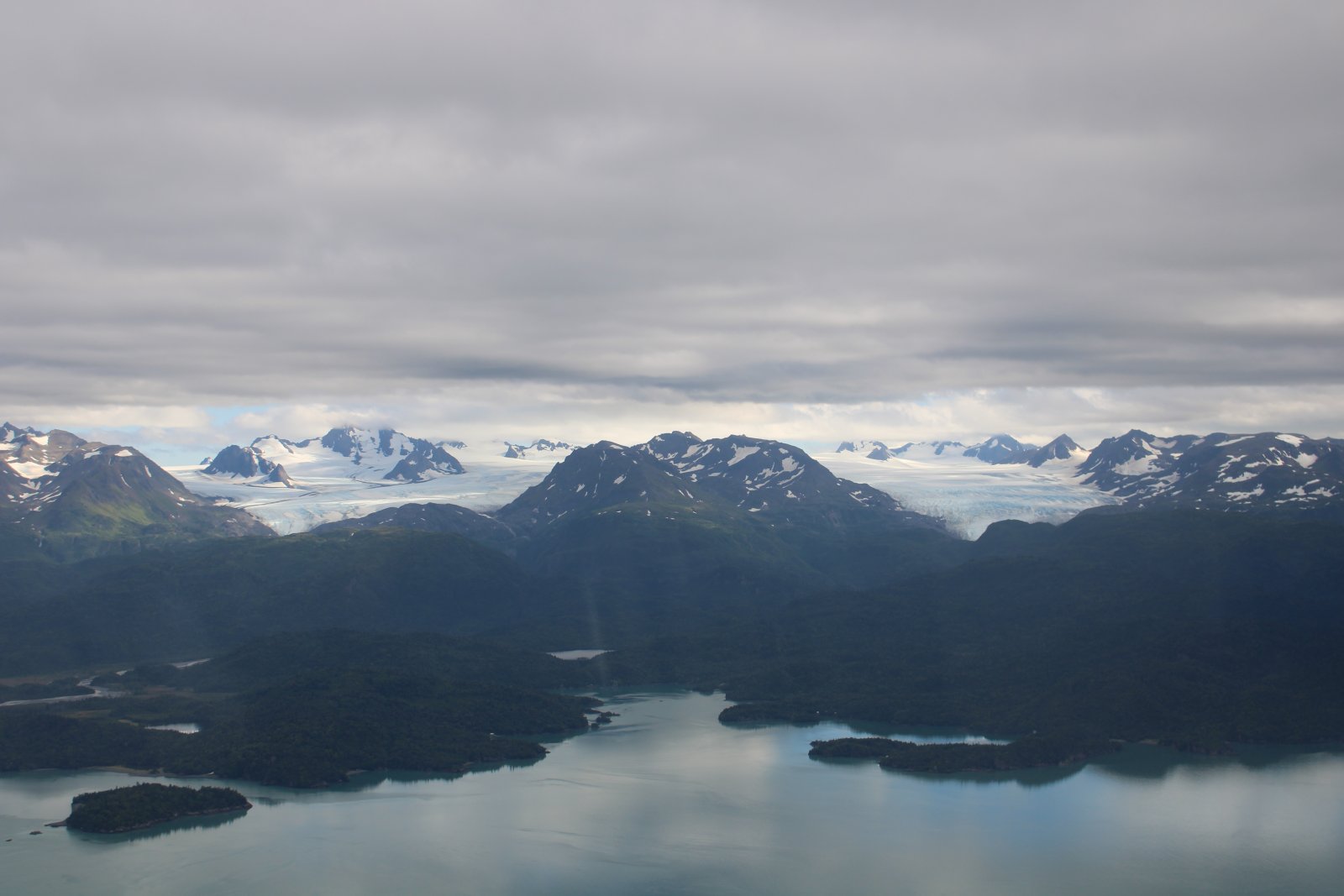
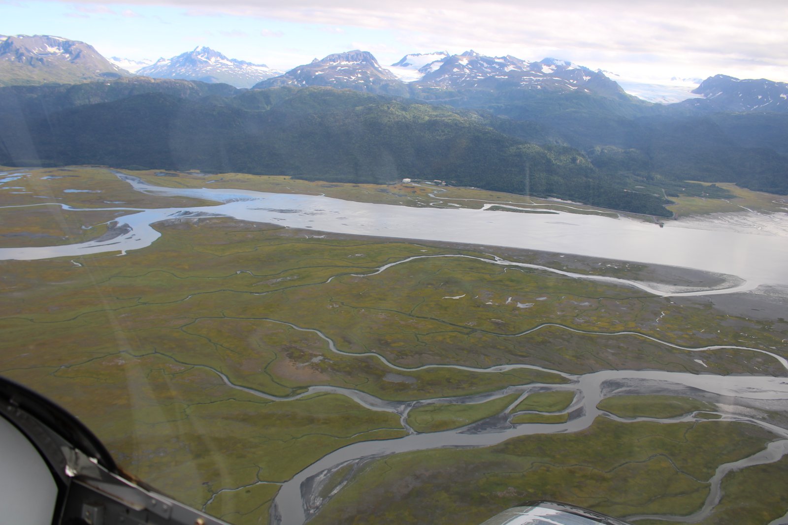
| Top of the bay. |
| |
 |
|
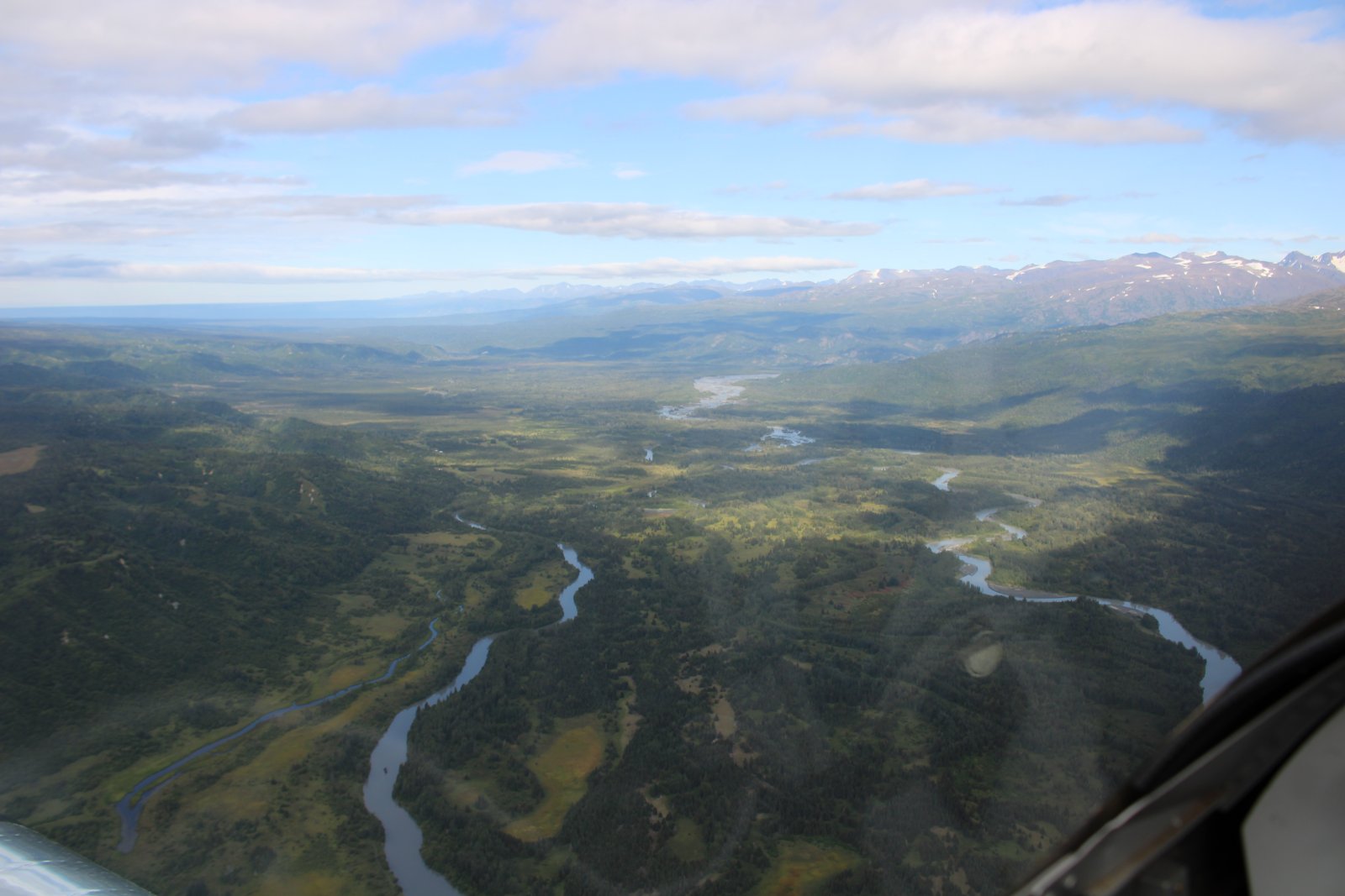
| Proceeding north northeast. |
| |
 |
|
|
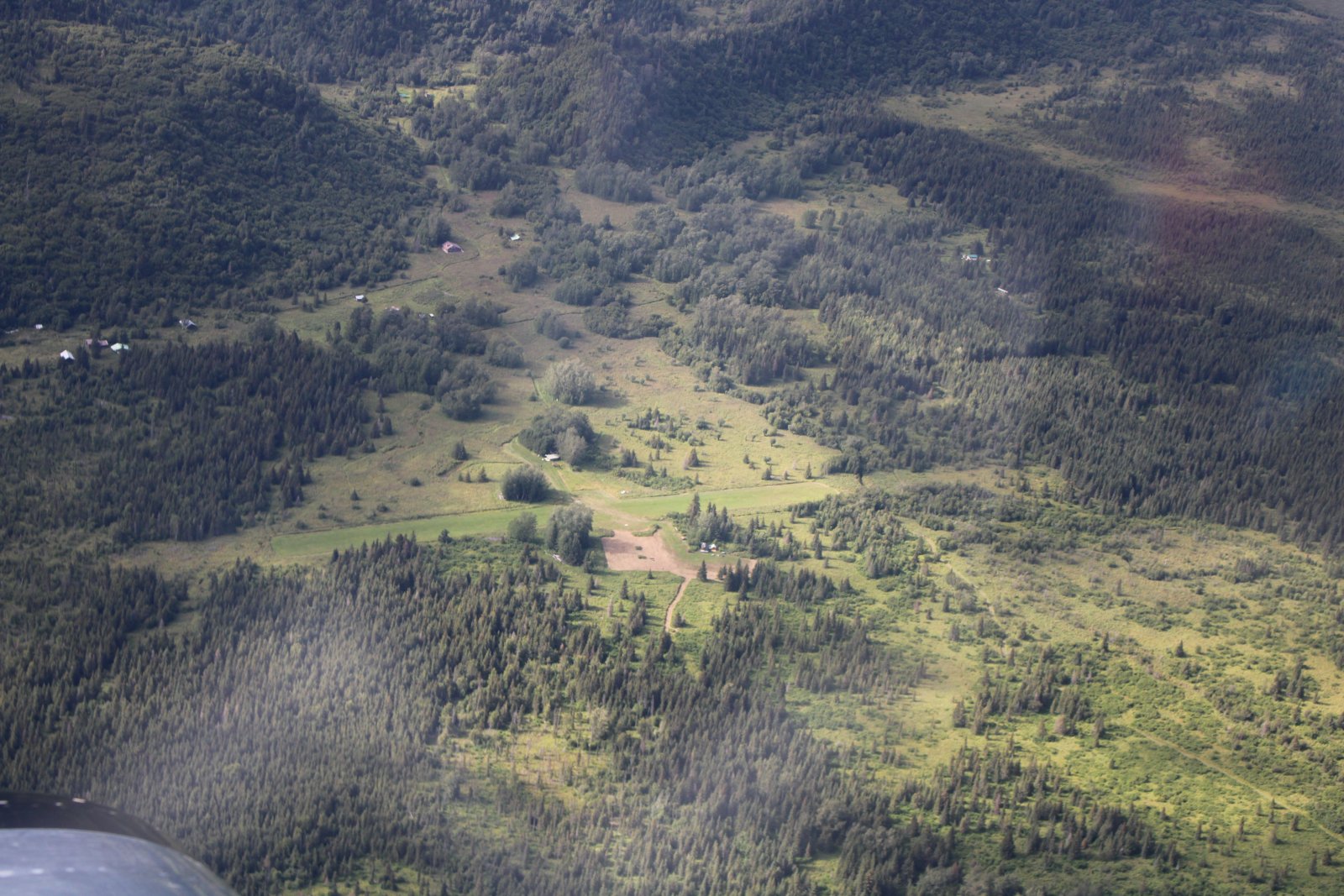
A very remote grass strip.
|
| |
 |
|
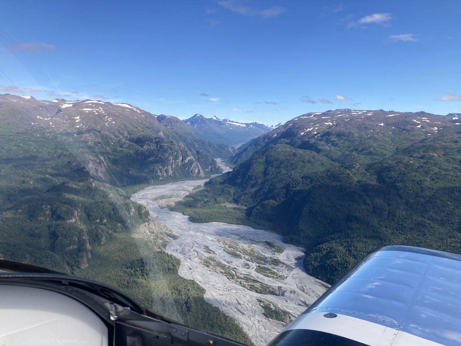
| A river bed emerges from the mountains. |
| |
 |
|
|
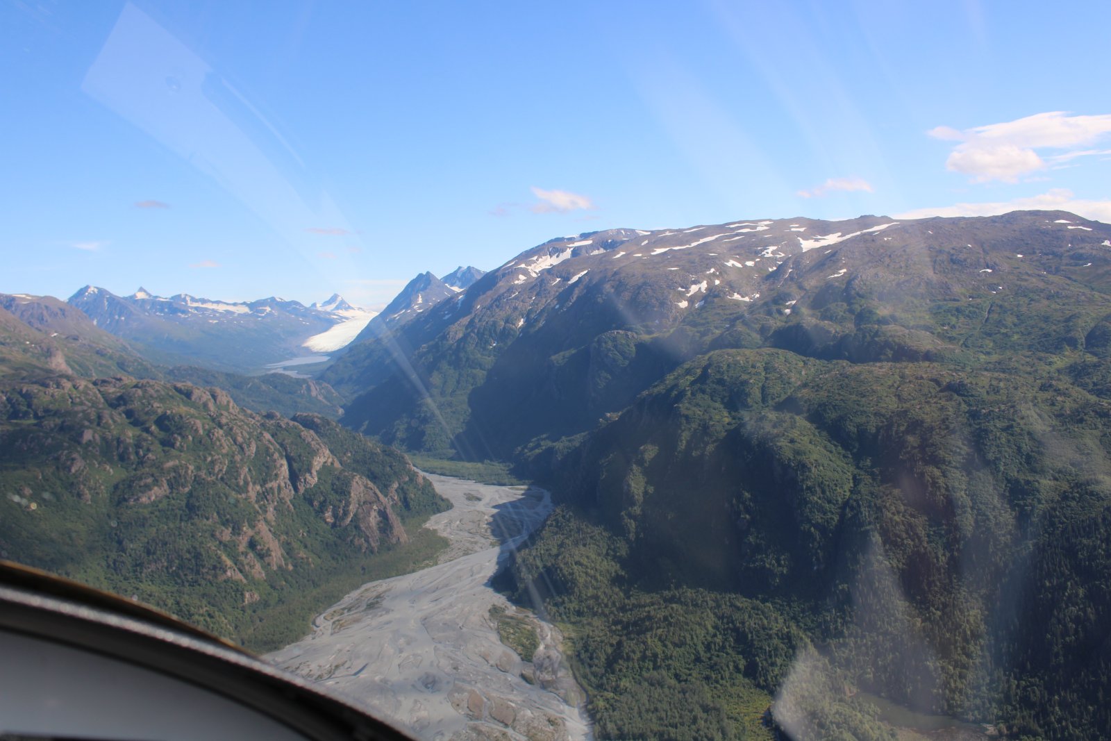
A glacier sits at the top of the canyon. The glacier probably extended all the way down here at one point.
|
| |
 |
|
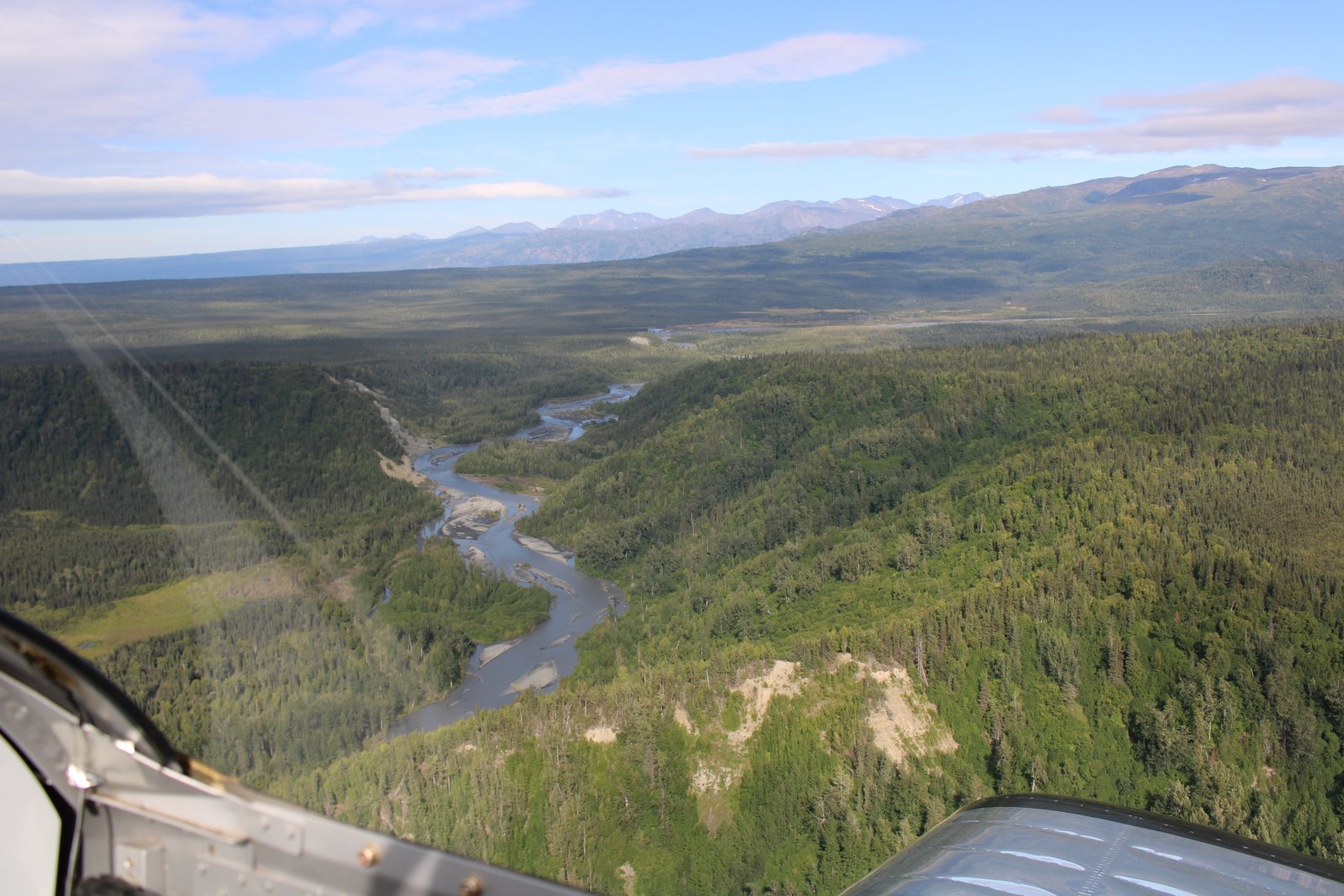
| Following the Fox River north. |
| |
 |
|
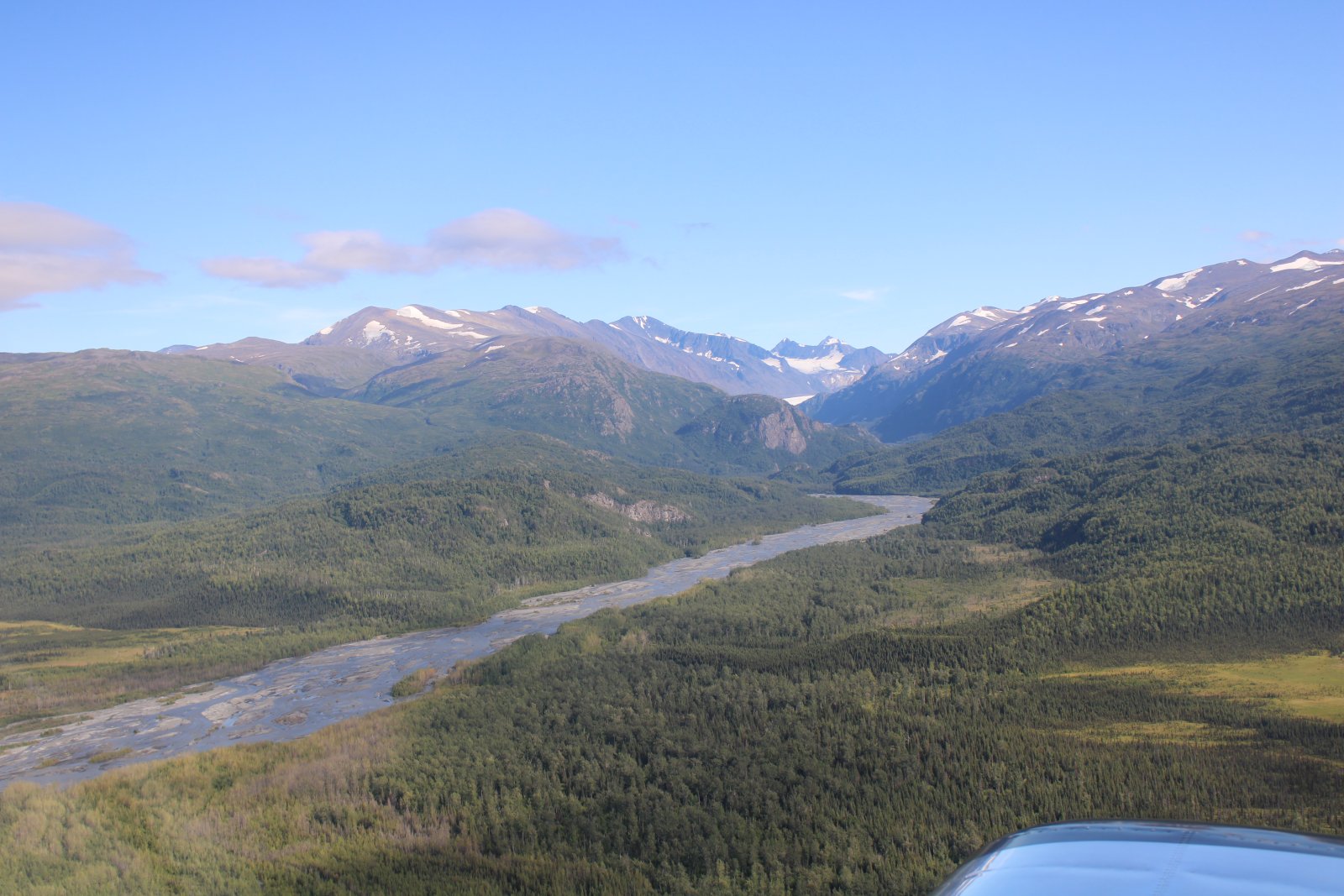
| The Fox River turns east into the mountains where it eventually turns into a glacier. |
| |
 |
|
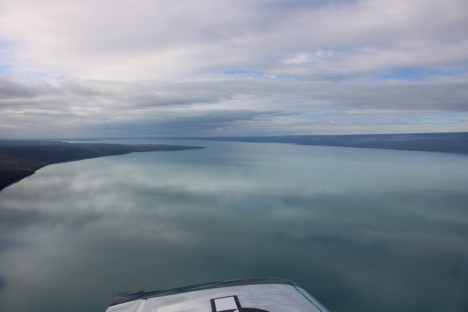
| I arrive at the big and glassy Tustumena Lake. |
| |
 |
|
|
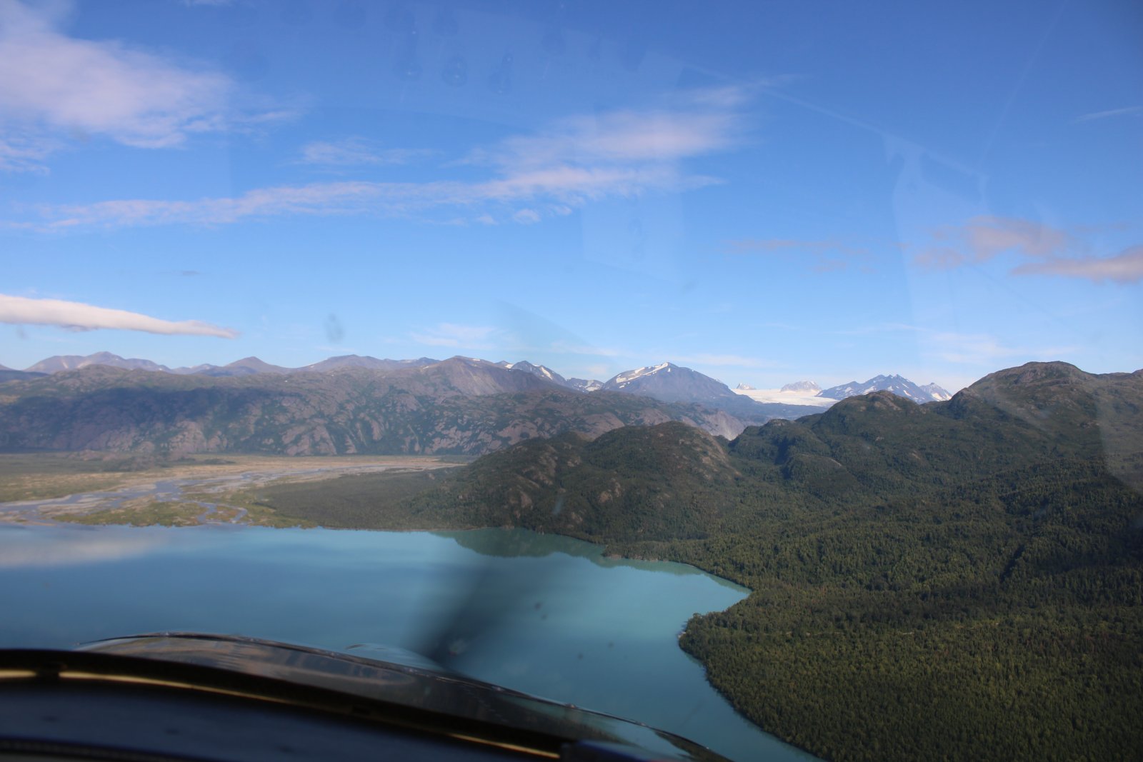
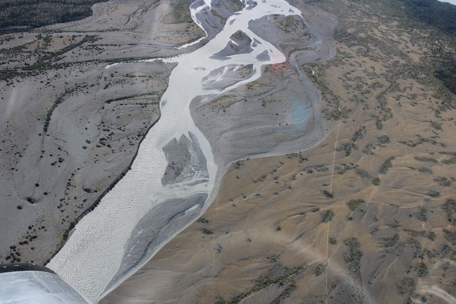
The lake's southeastern end turns into a braided river.
|
| |
 |
|
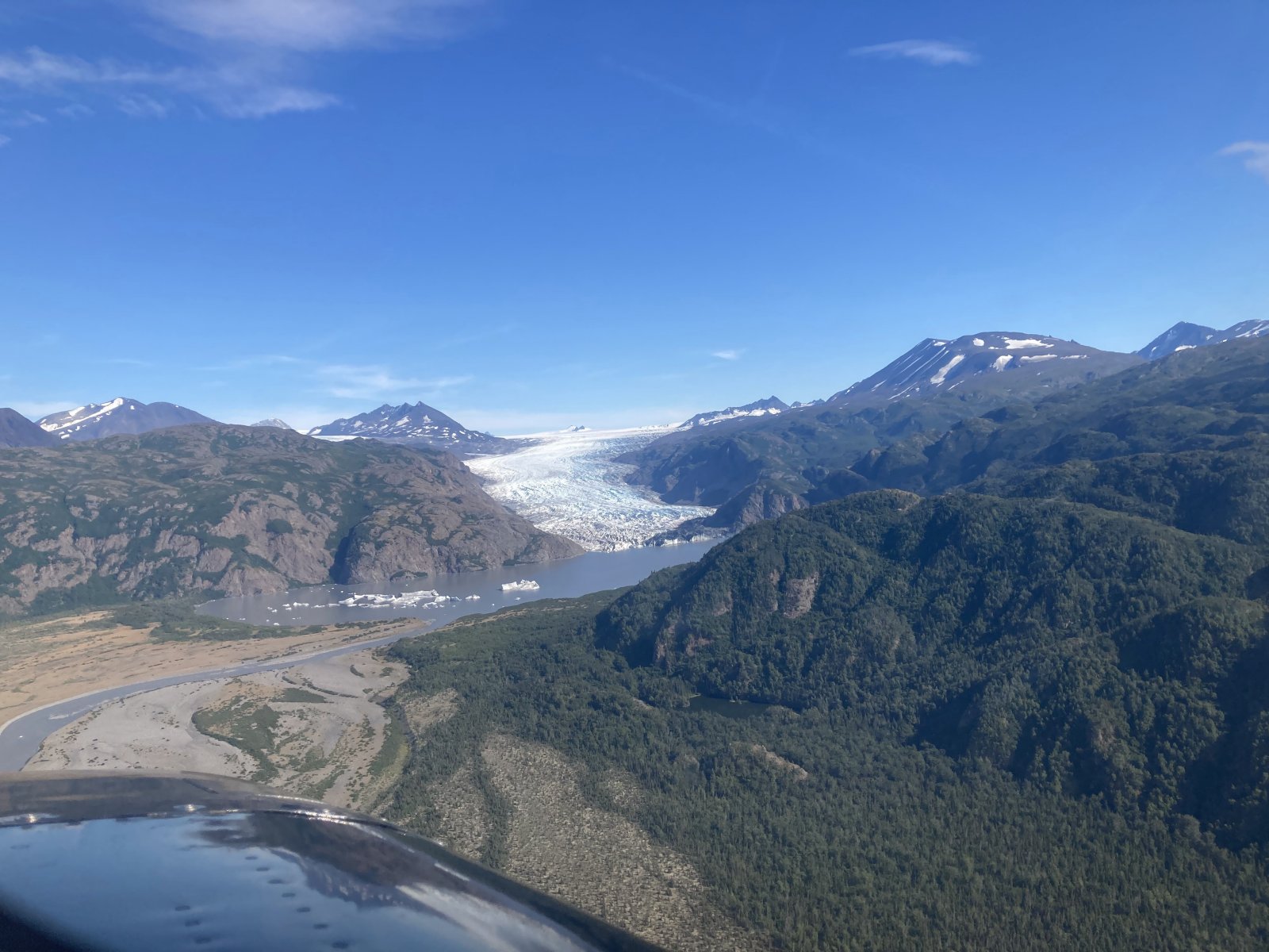
| The river quickly turns into a lake which turns into a glacier. |
| |
 |
|
|
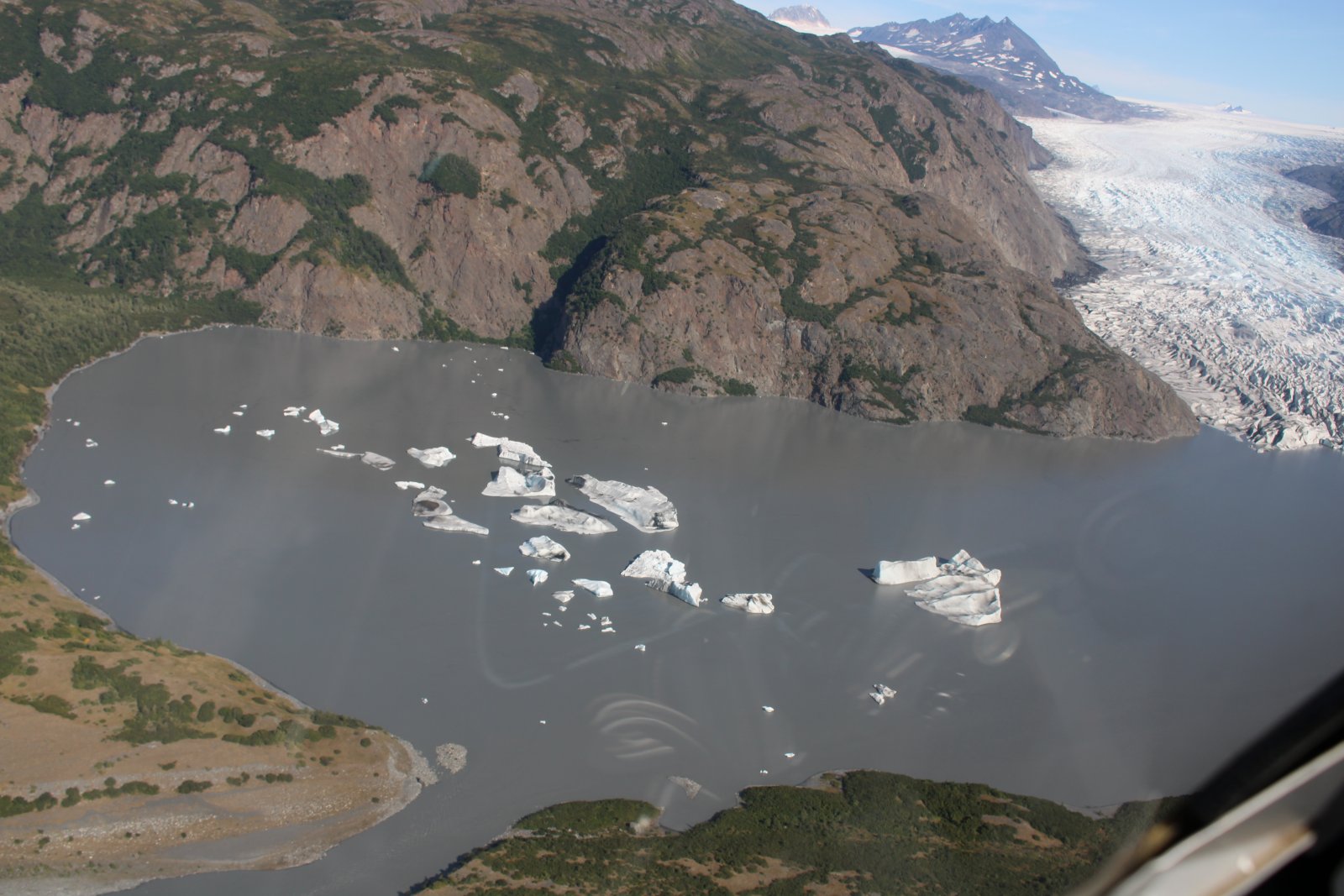
Icebergs!
|
| |
 |
|
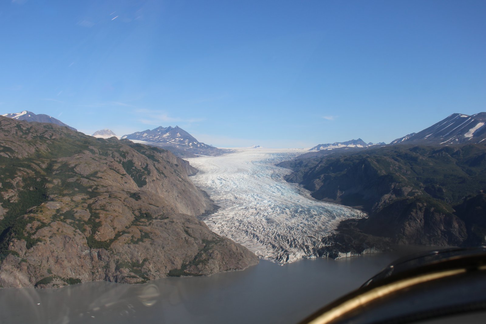
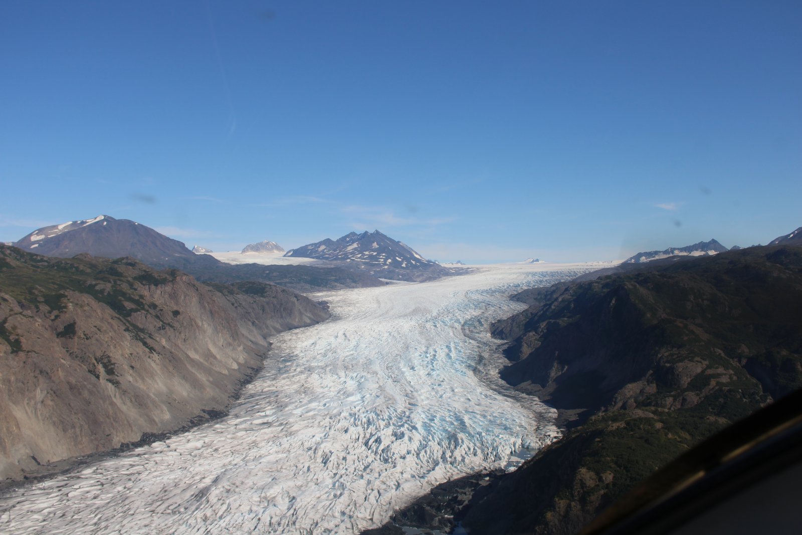
| Nice shot of the glacier. |
| |
 |
|
| |
| |
 |
|
|
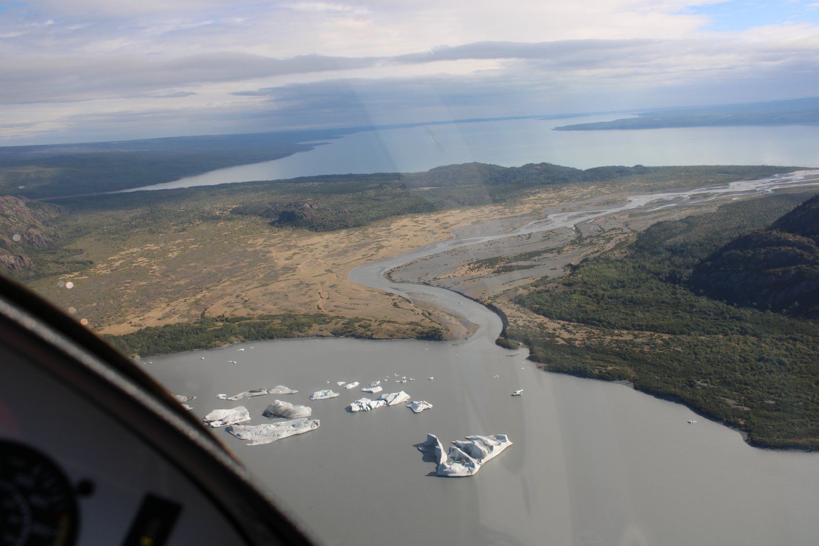
Looking west back at Tustumena Lake.
|
| |
 |
|
| |
| |
 |
|
|
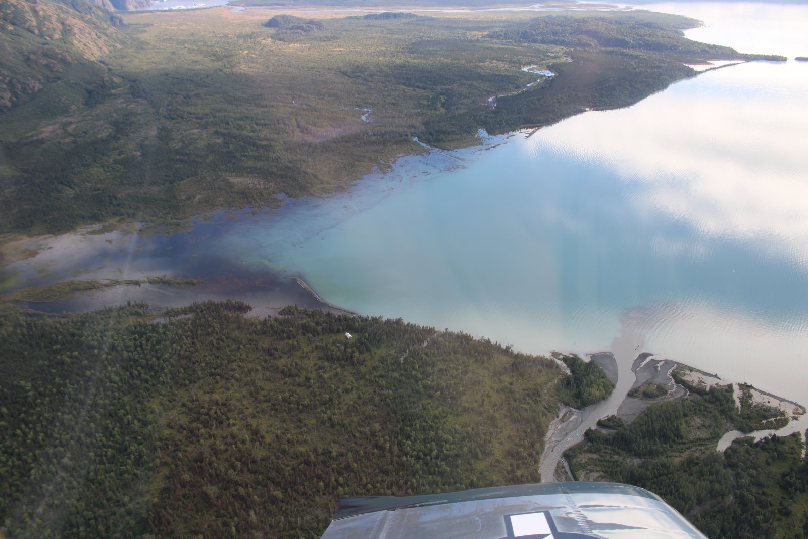
There's a cabin in the middle of the picture. Talk about remote!
|
| |
 |
|
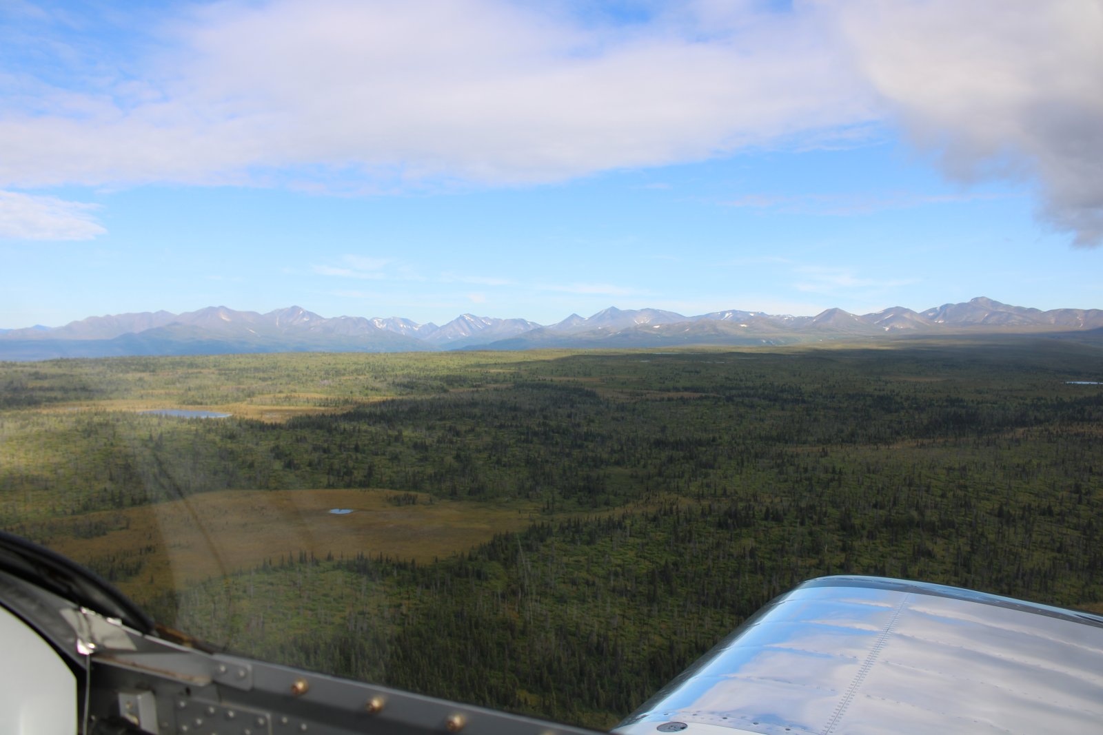
| Resuming my northerly course. |
| |
 |
|
|
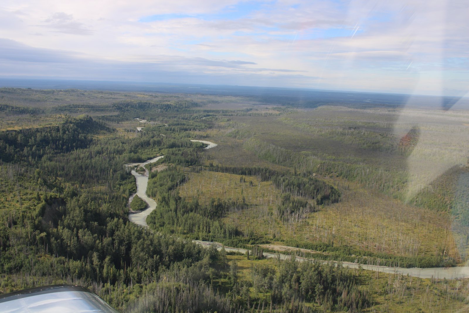
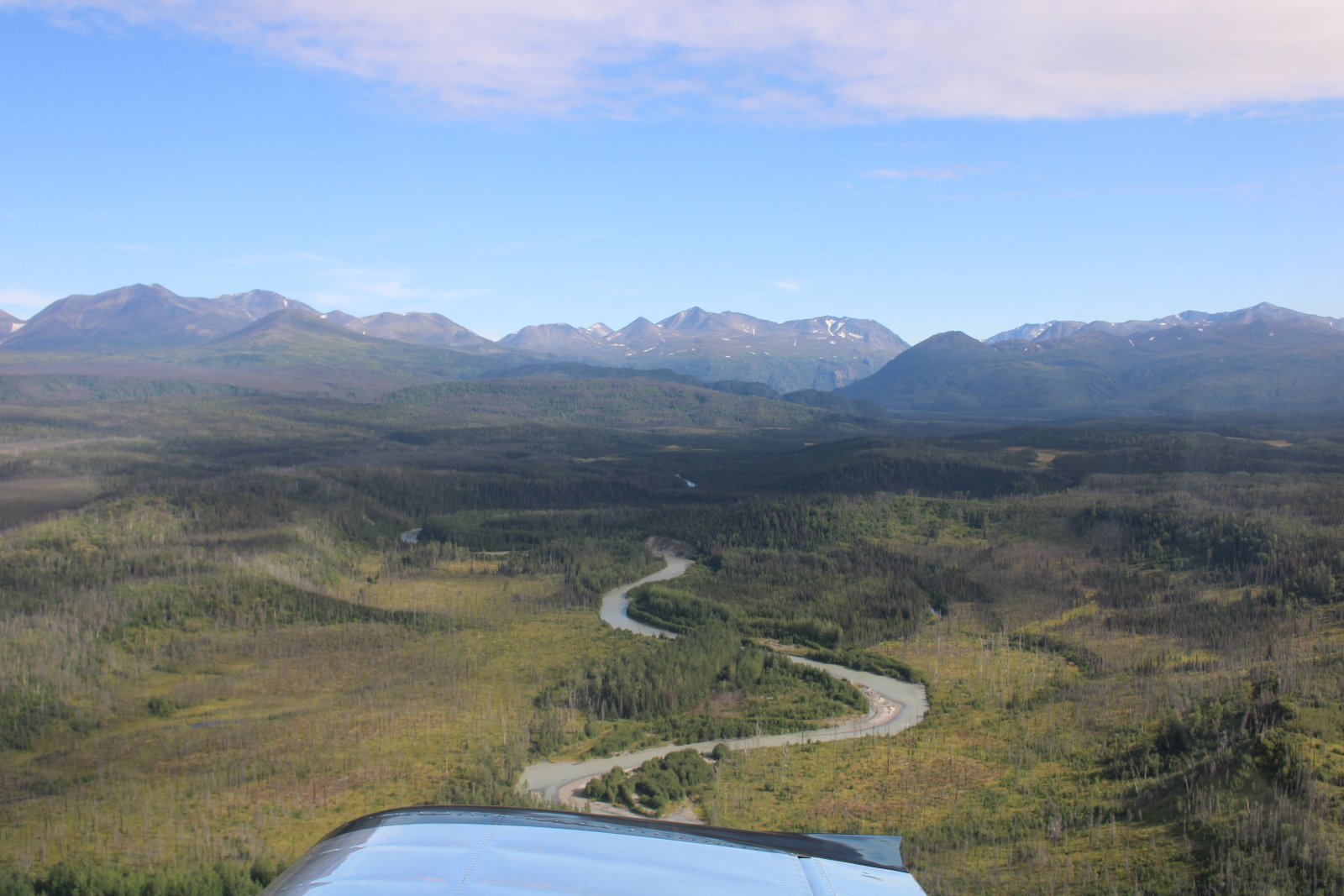
There are so many little rivers like this I don't think they even bother naming them.
|
| |
 |
|
| |
| |
 |
|
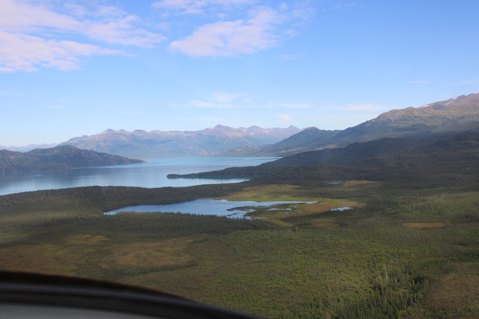
| Coming up on another good-sized lake: Skilak Lake. |
| |
 |
|
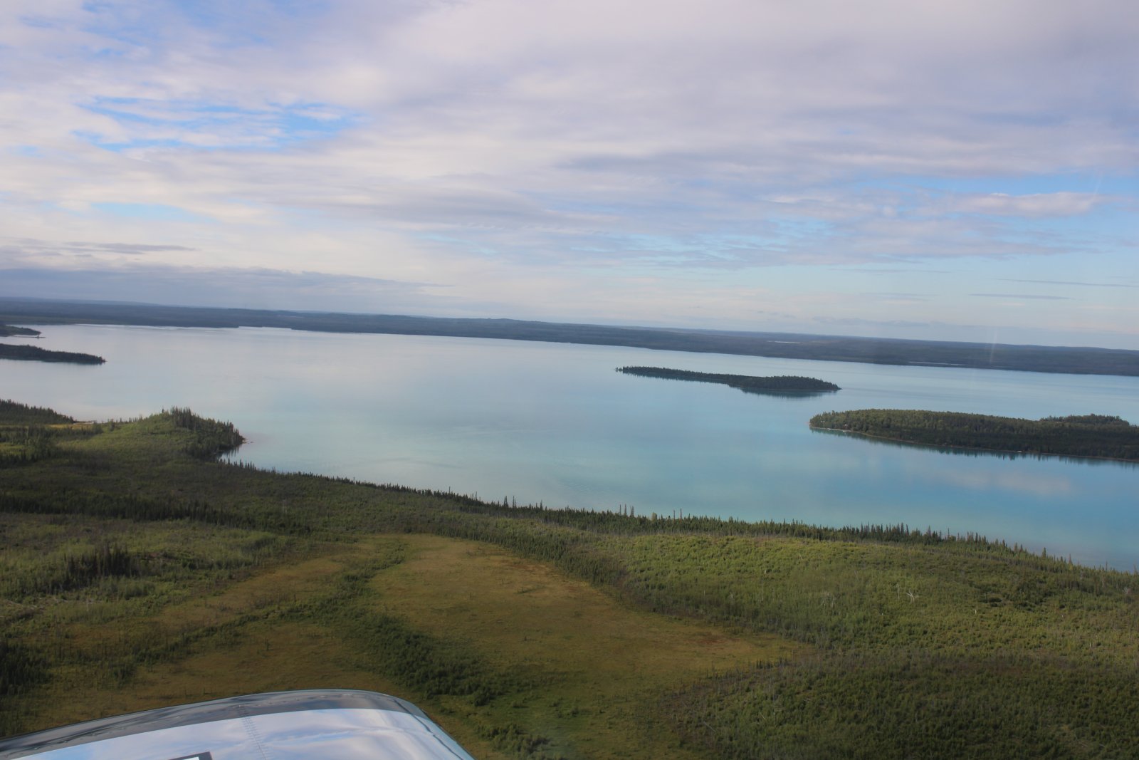
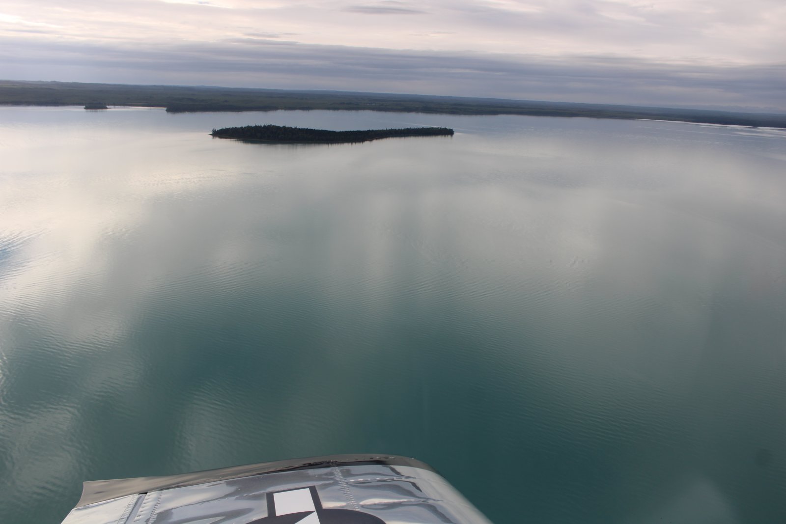
| Not much wind today; the lake is glassy. |
| |
 |
|
|
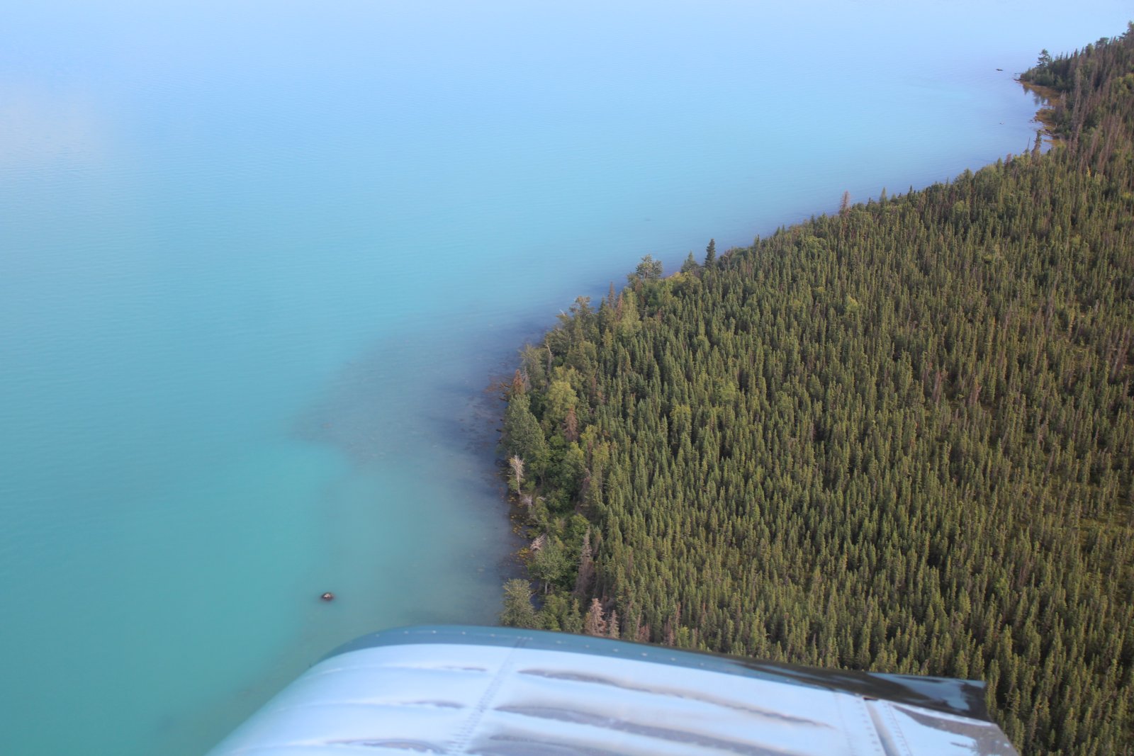
The water color is very aqua-blueish; I guess because it is glacier water.
|
| |
 |
|
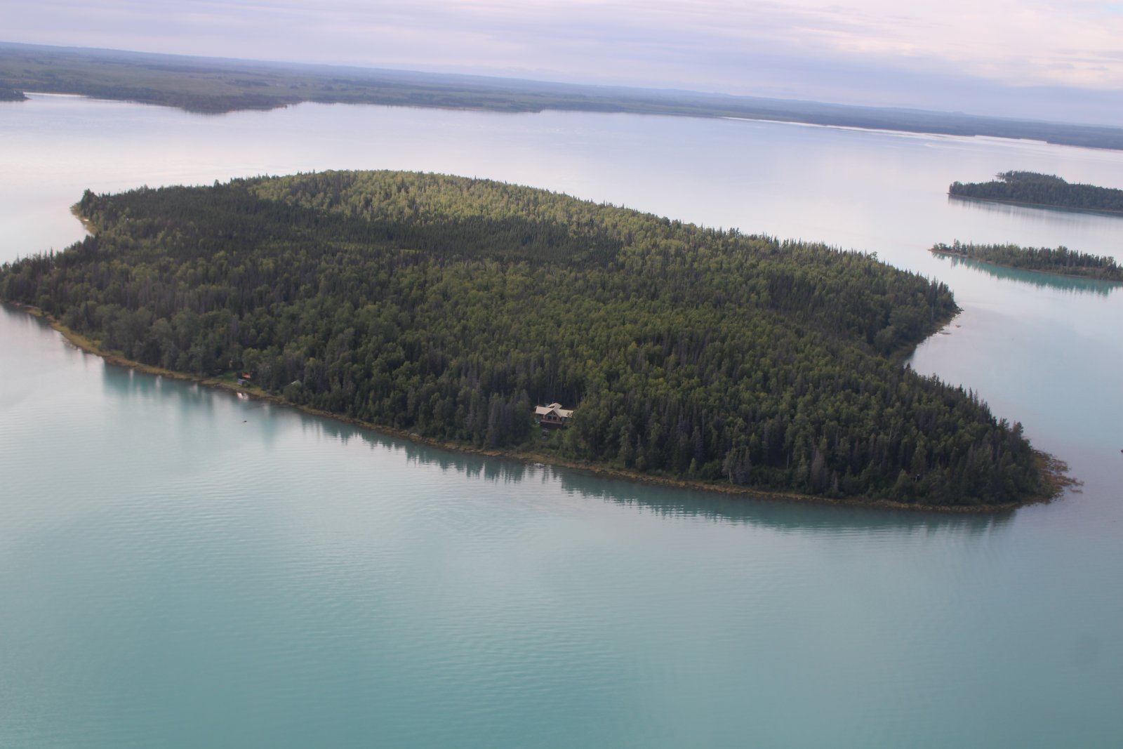
| There are islands in this lake. This one has a couple of cabins. This lake isn't that far from Sterling and Highway One. From there I guess they could bring in building materials via boat. |
| |
 |
|
|
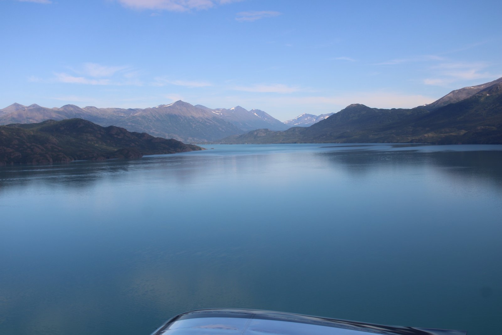
Looking east. If I ever fly this area again, I'd like to head up that way and check it out.
|
| |
 |
|
| Looking west. |
| |
 |
|
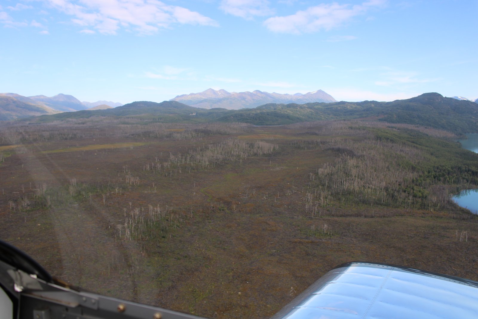
| I'm sure they must have name for this mostly treeless, barren terrain. |
| |
 |
|
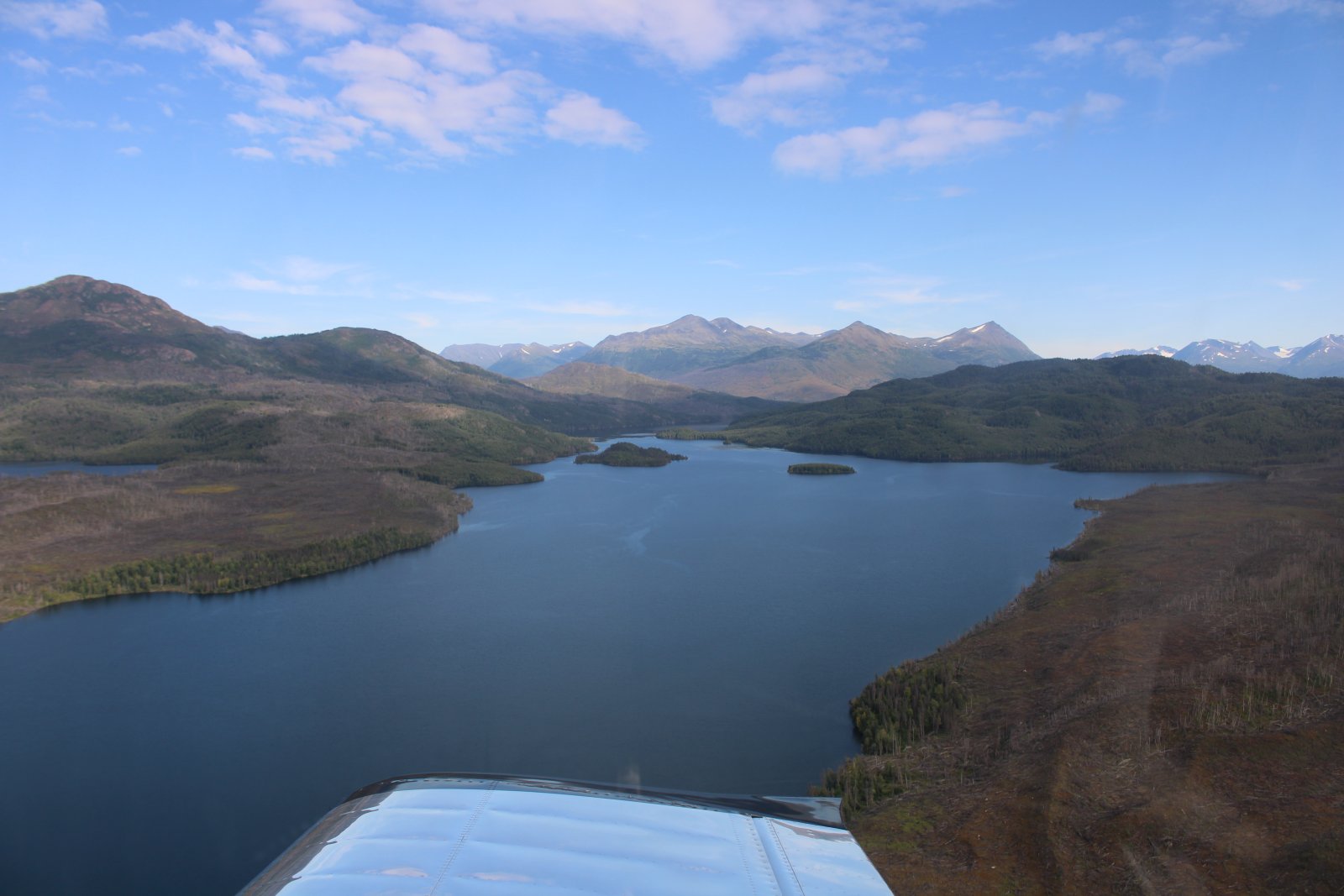
| Yet another lake: Hidden Lake. |
| |
 |
|
|
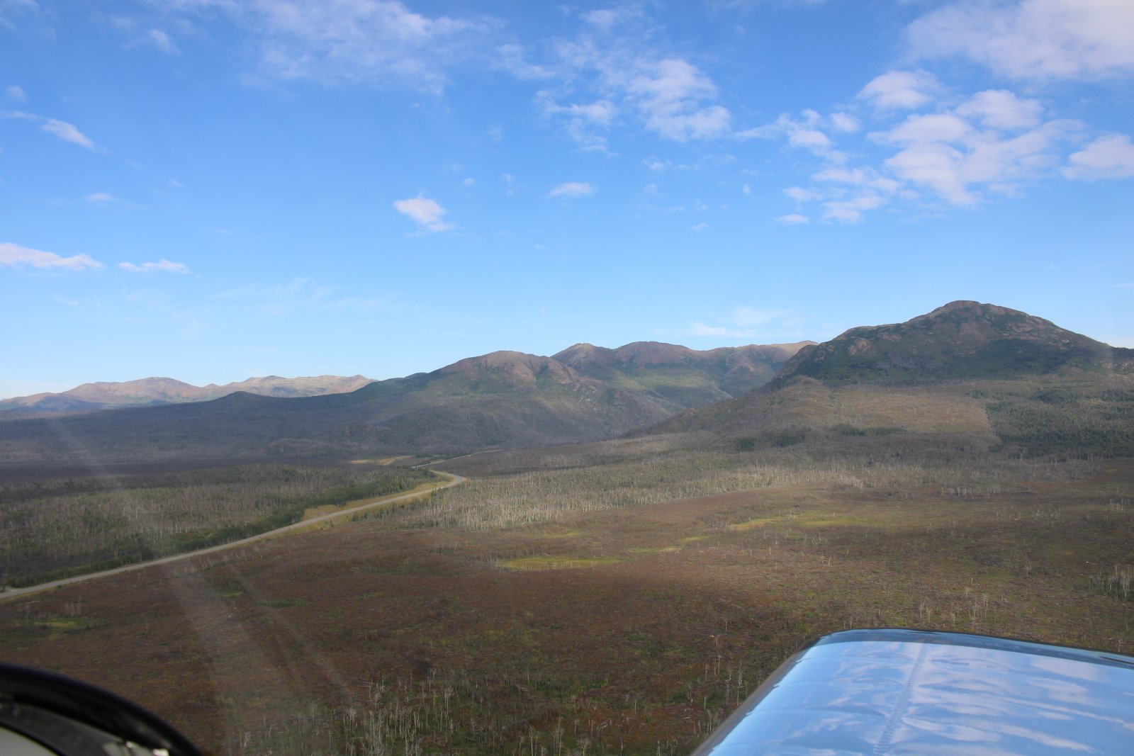
And there is Highway One, emerging from the mountains, heading west for Sterling and the coast.
|
| |
 |
|
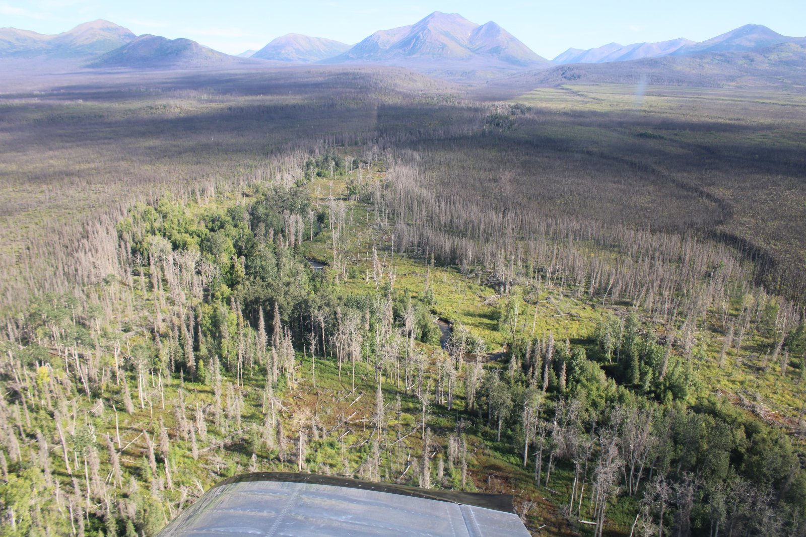
| Trees are able to make a stand here. |
| |
 |
|
|
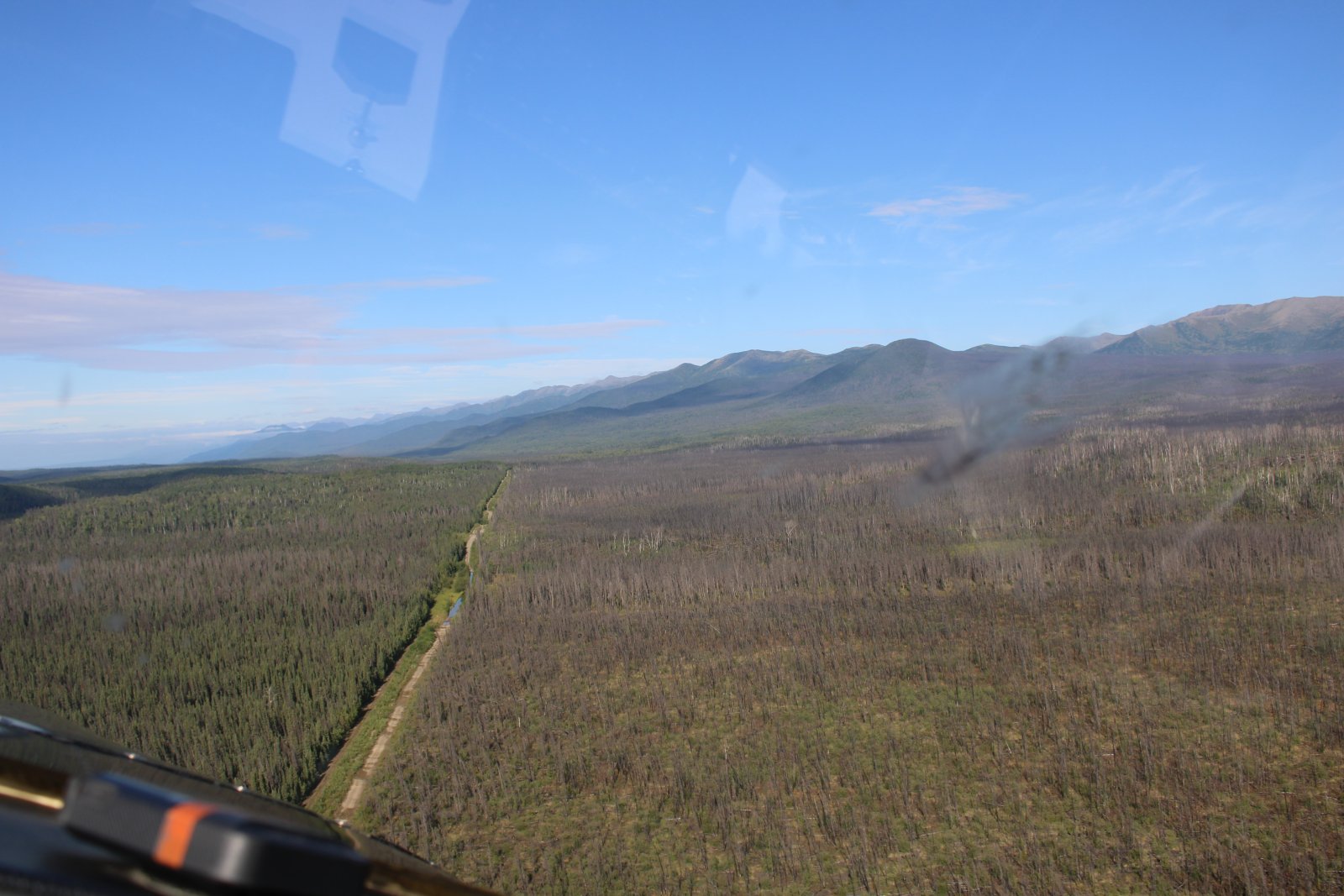
Following a road or powerline thing or something.
|
| |
 |
|
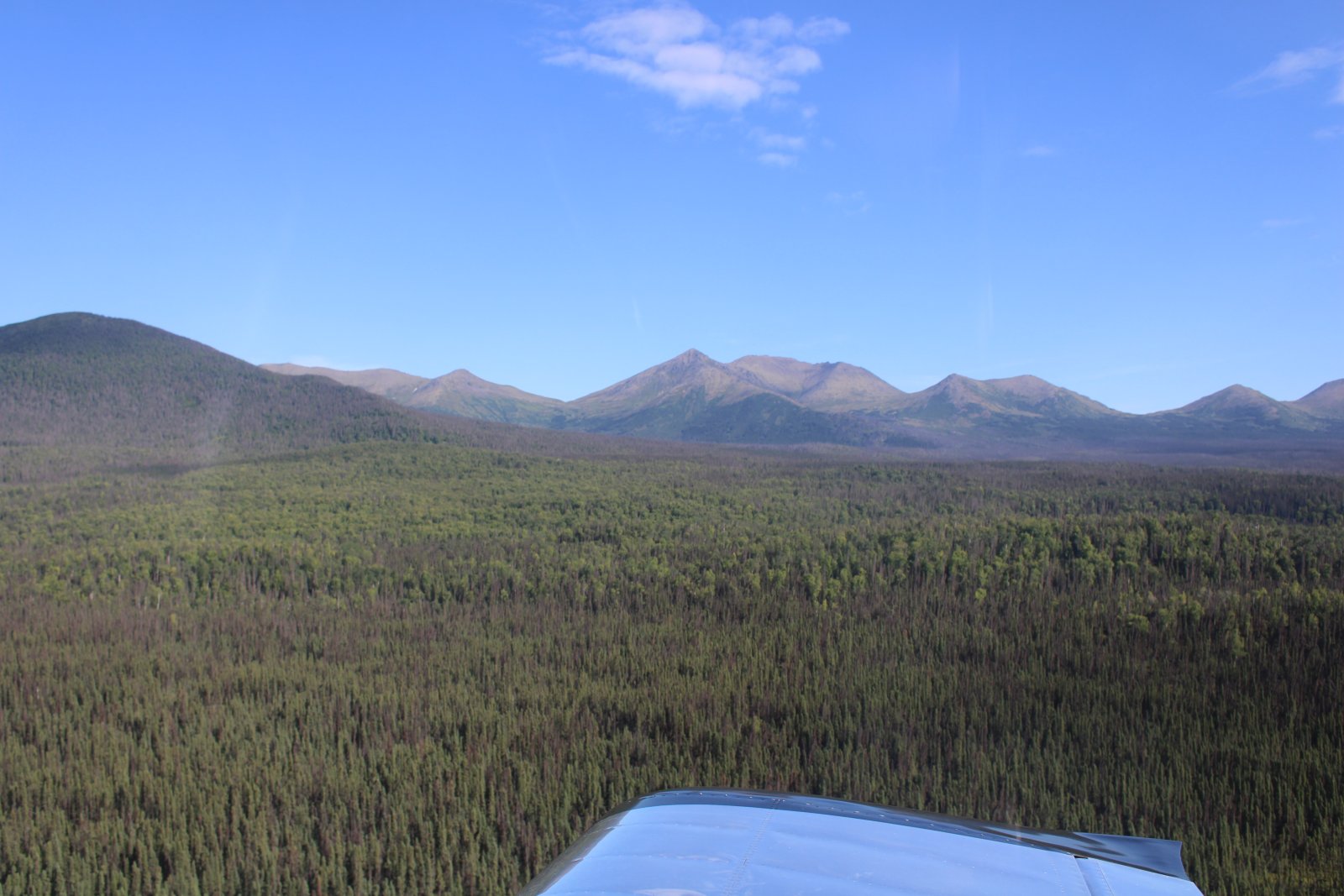
| Lots of trees now. |
| |
 |
|
| |
| |
 |
|
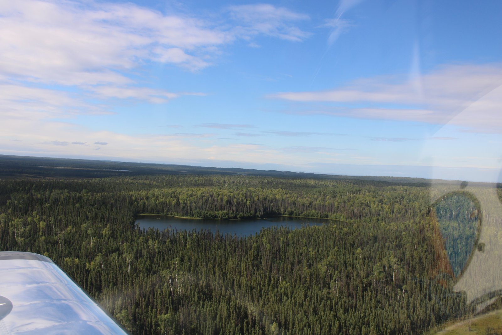
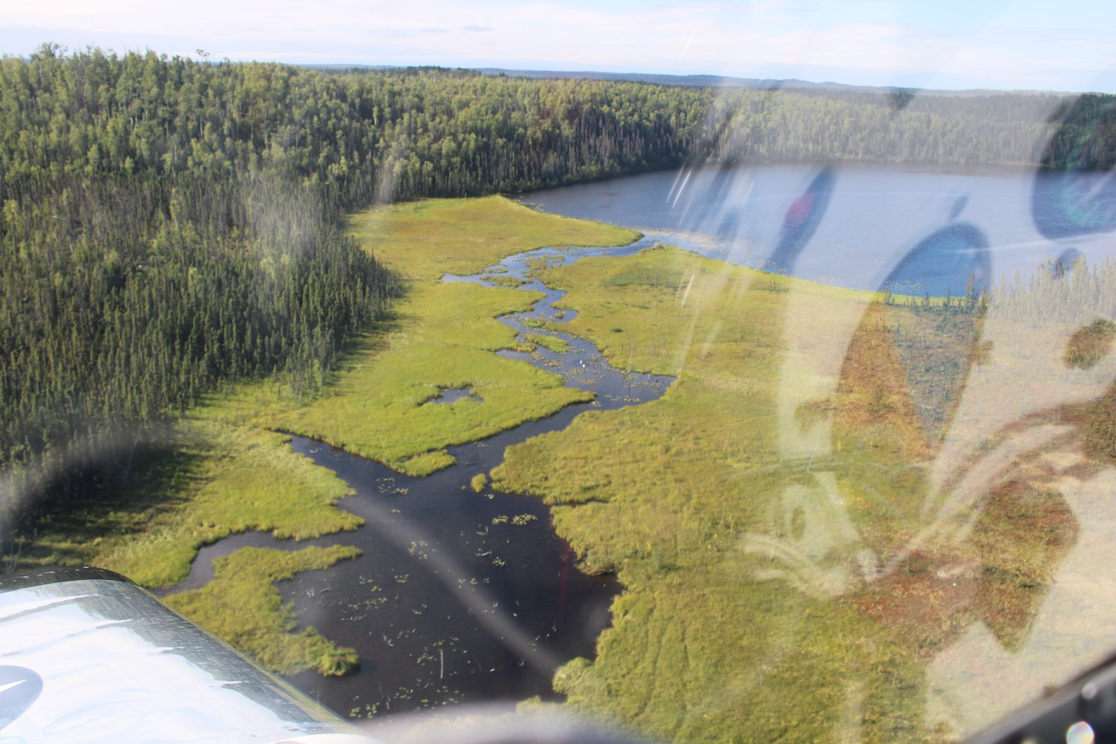
| Those two white dots at center are big, white swans. They would be the only wildlife I saw the entire Alaska trip from the air. No bears, moose, caribou. Just swans. |
| |
 |
|
|
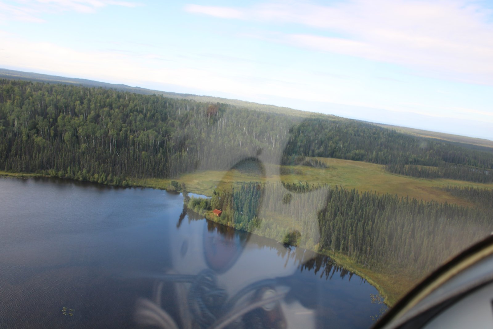
A cabin sits by its lonely self on some remote lake.
|
| |
 |
|
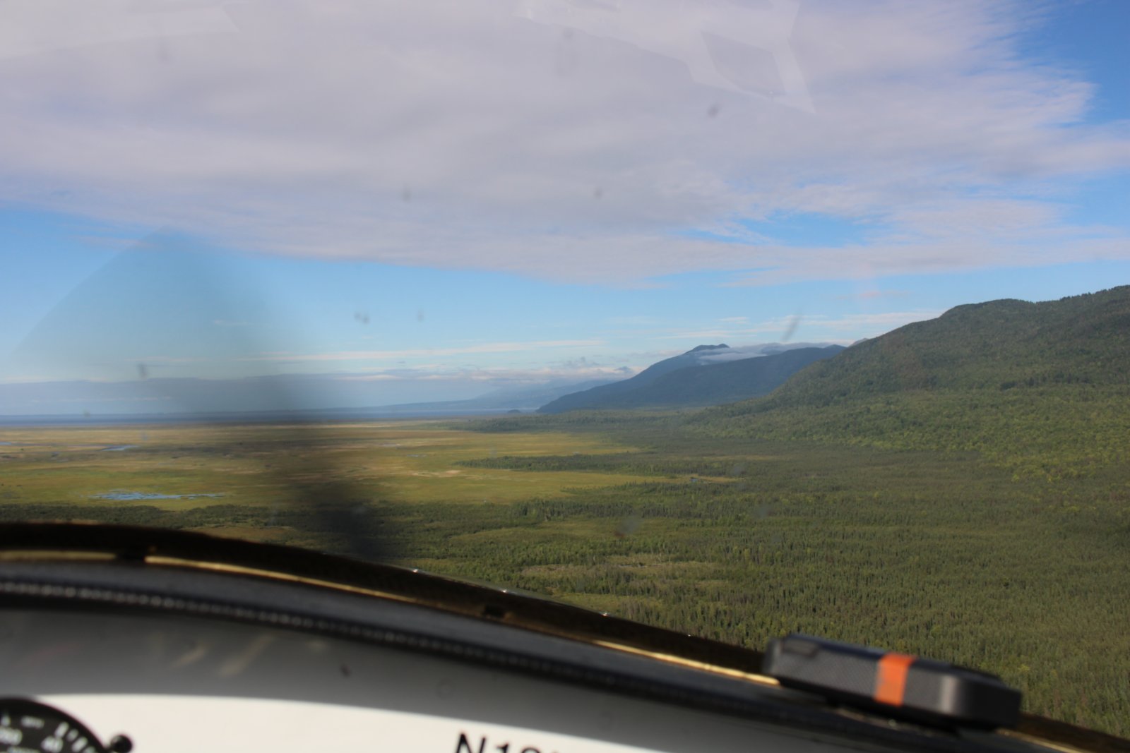
| I see Turnagain Arm dead ahead. |
| |
 |
|
|
|
| |
 |
|
| |
| |
 |
|
| |
| |
 |
|
|
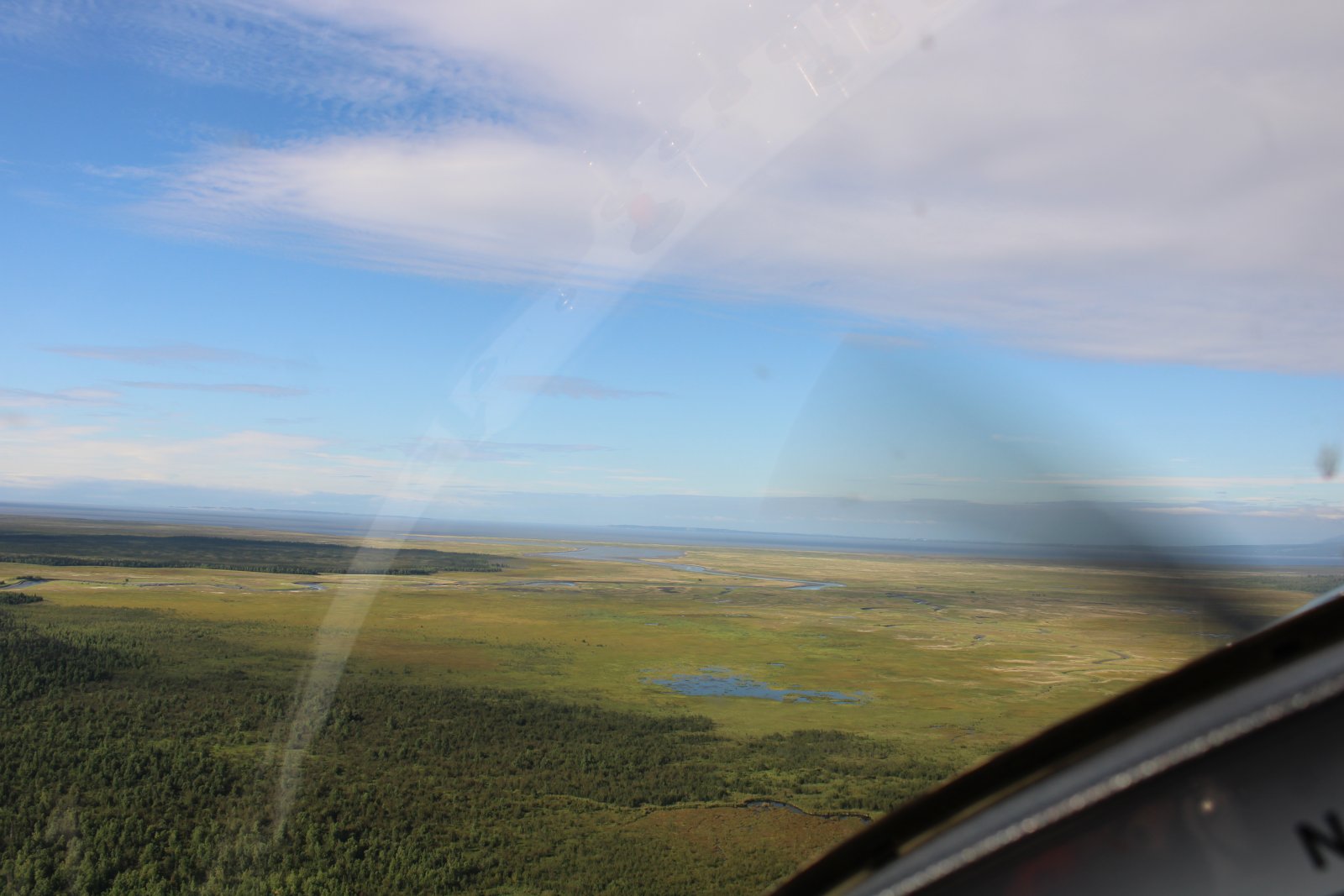
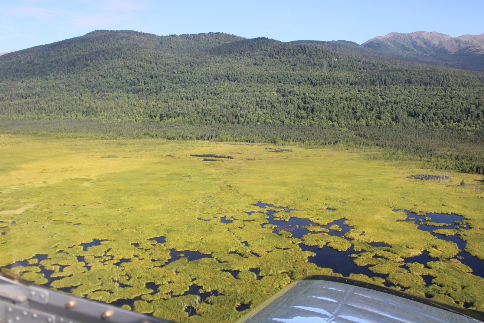
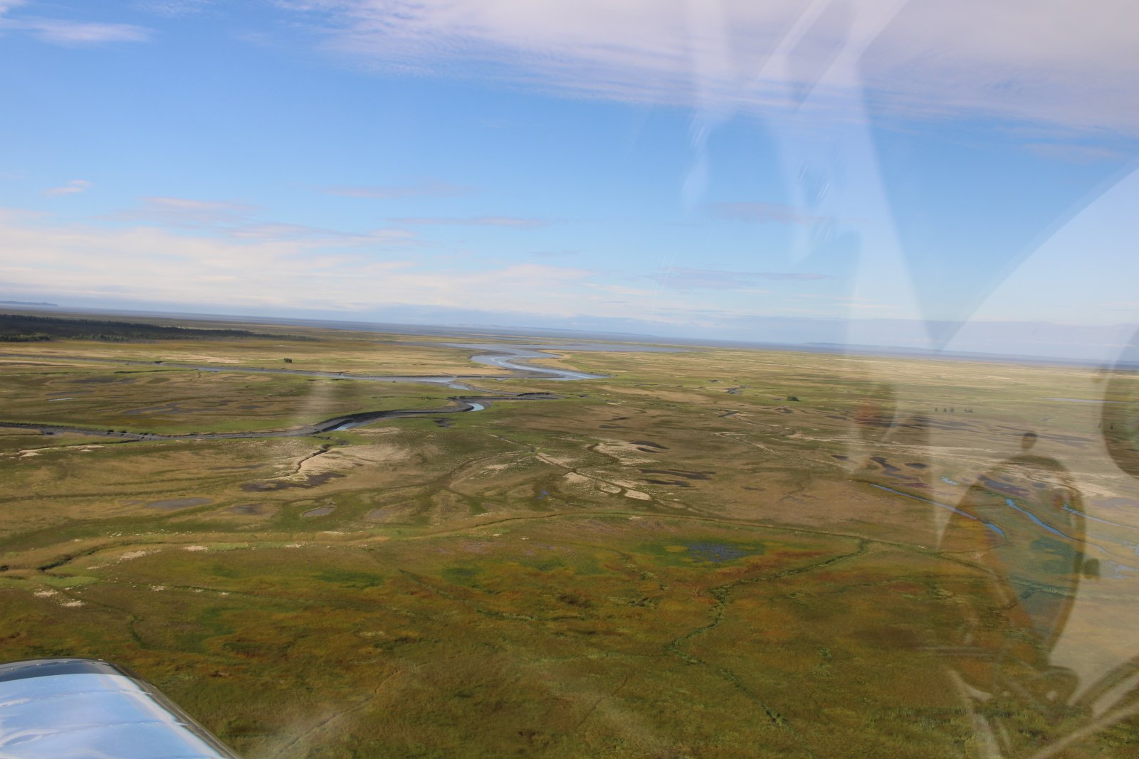
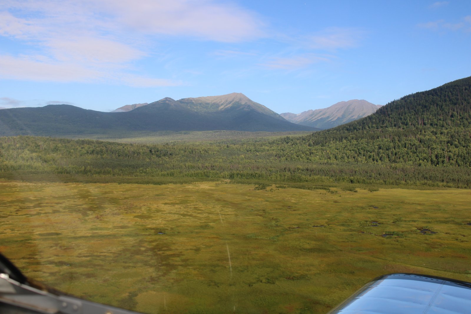
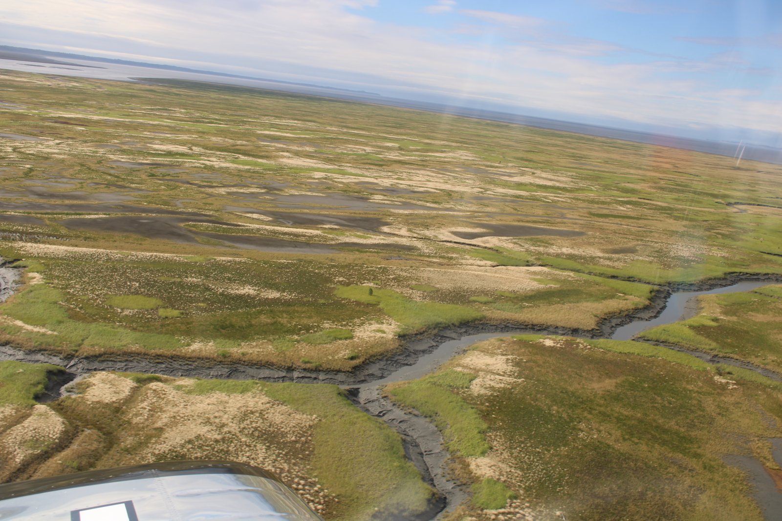
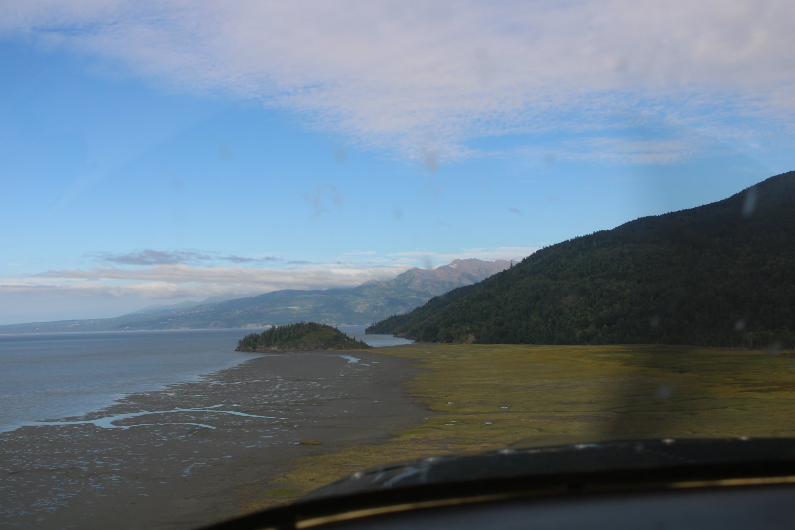
The marsh suddenly turns to forest as it nears the mountains.
|
| |
 |
|
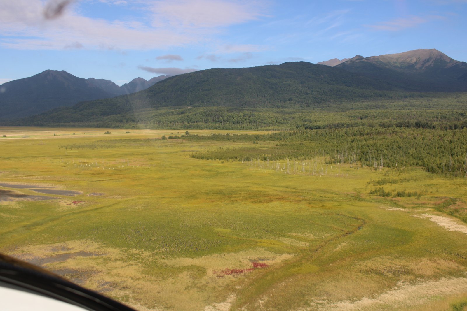
| A little red color out in the marsh. |
| |
 |
|
|
|
| |
 |
|
| |
| |
 |
|
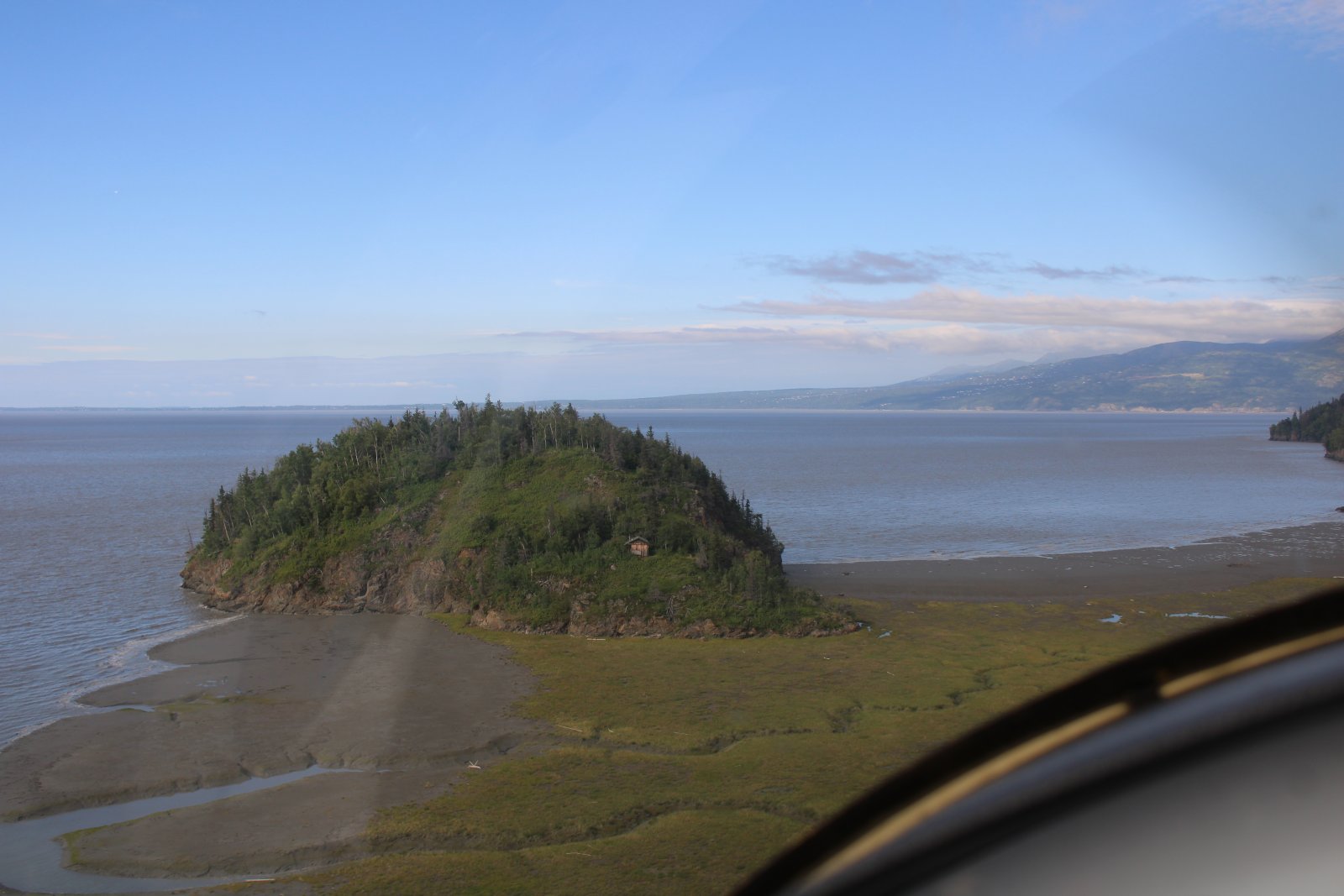
| Passing a mini-mountain, complete with cabin. |
| |
 |
|
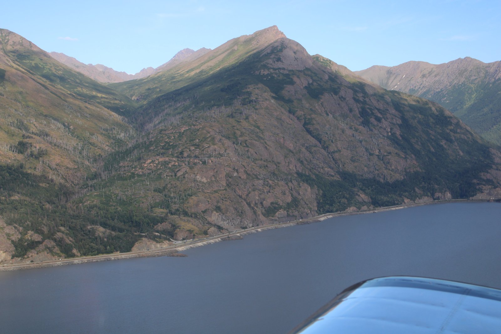
| I cross Turnagain Arm and there is Highway One again on the northern edge of the Arm. |
| |
 |
|
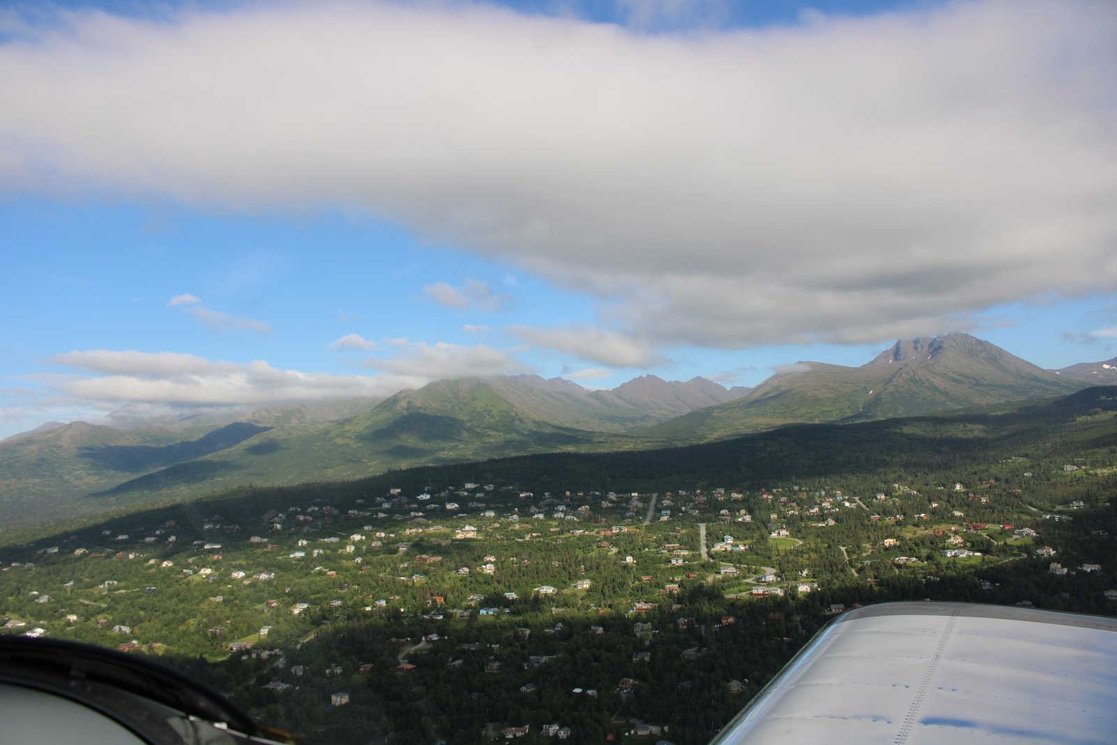
| Anchorage's suburbs are up on the gentle mountain slopes. |
| |
 |
|
|
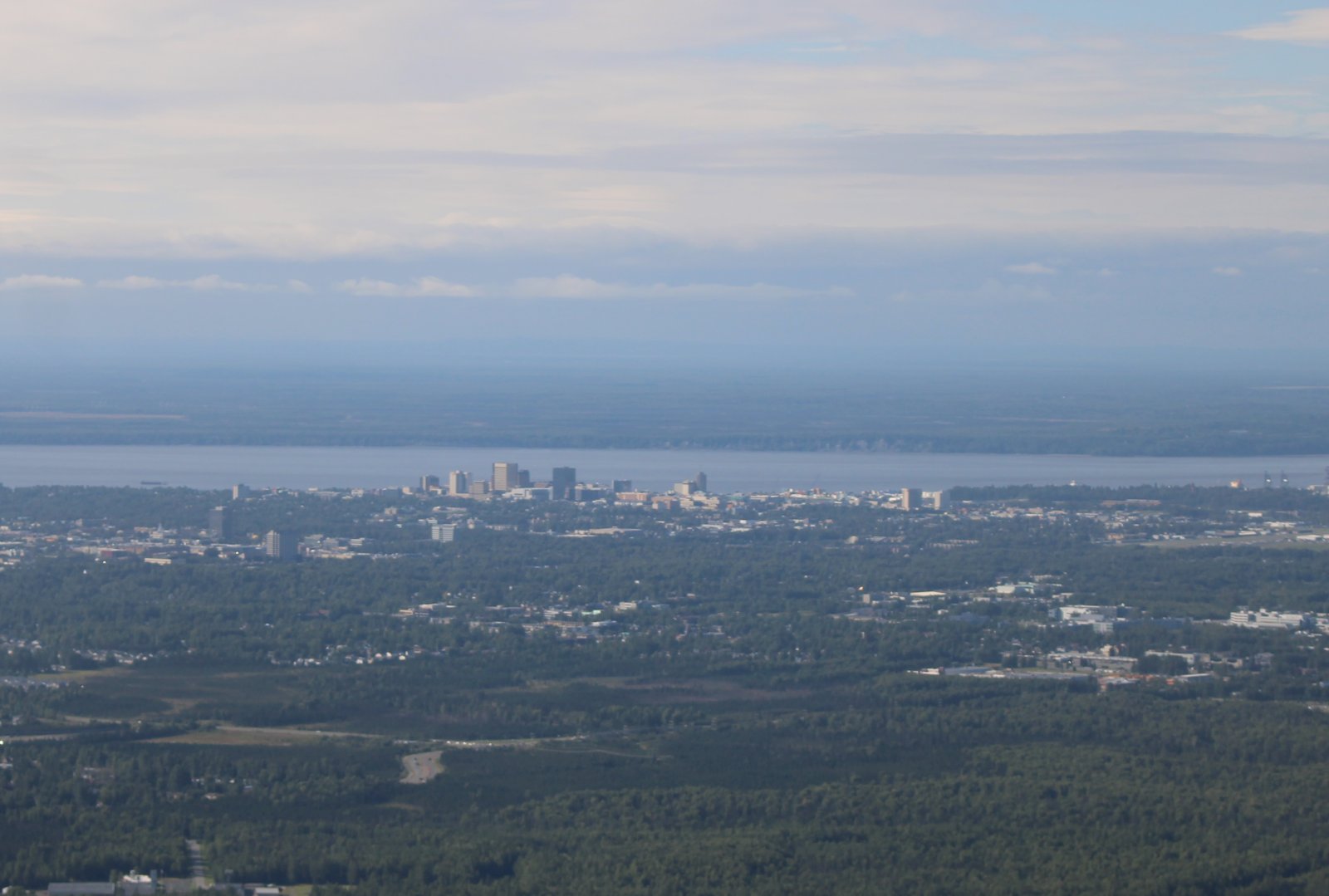
Close-up of Anchorage.
|
| |
 |
|
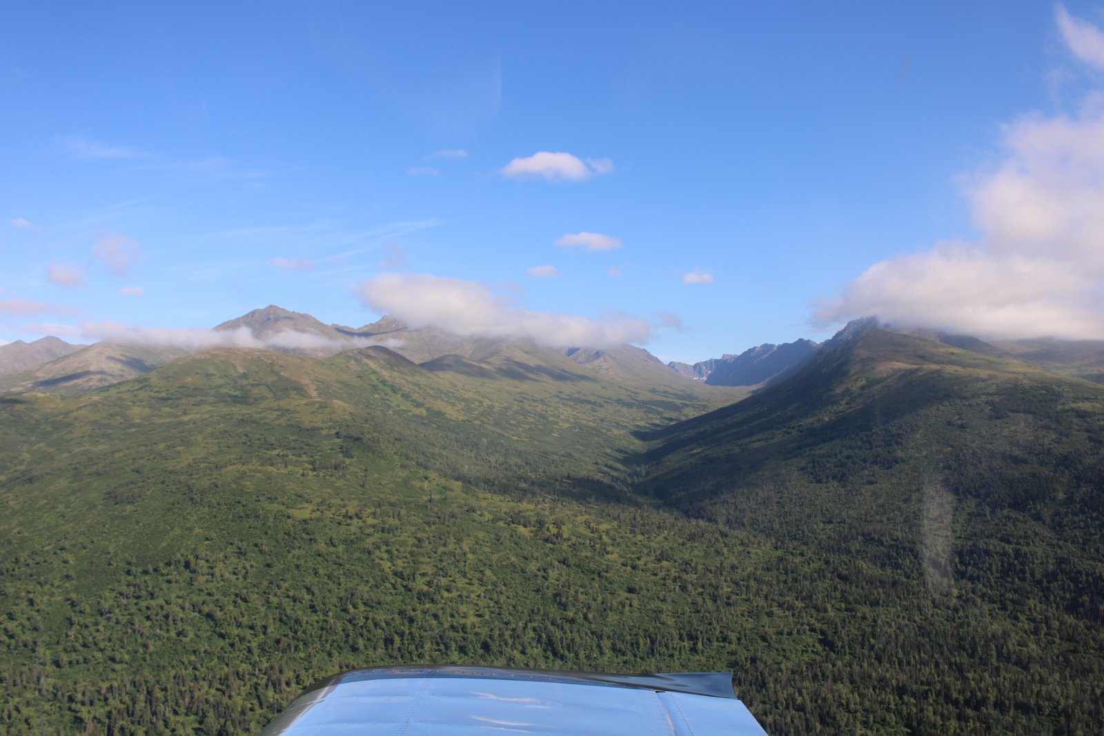
| A draw up the mountains west of Anchorage. |
| |
 |
|
|
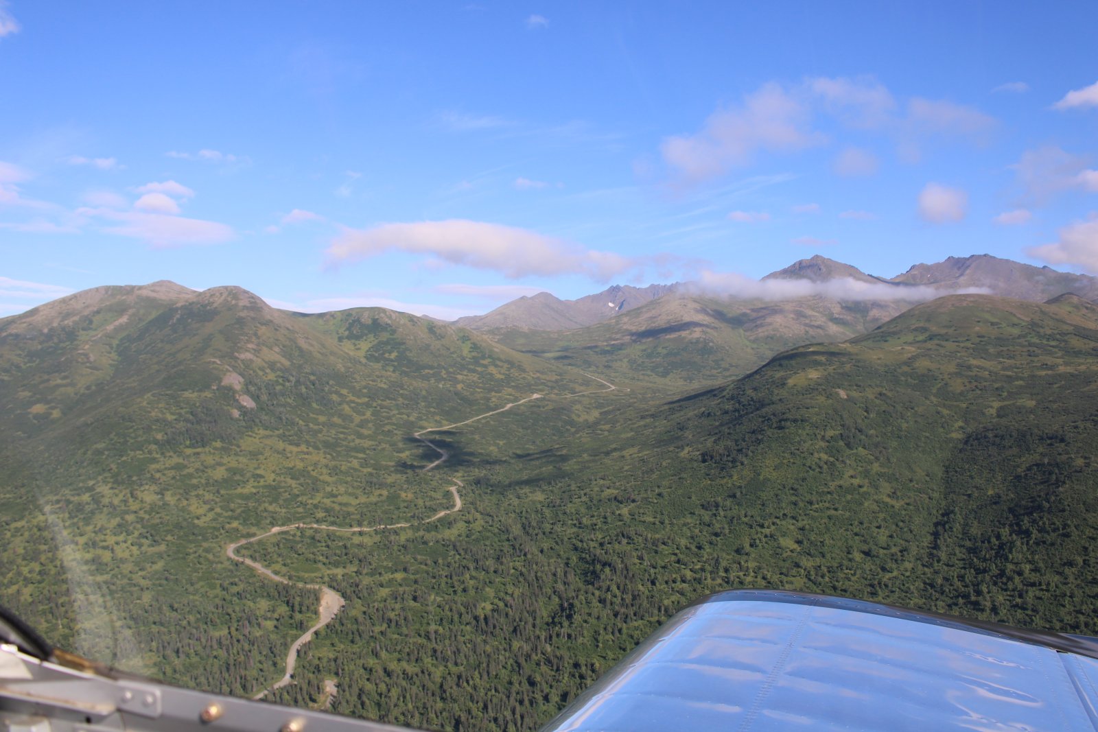
Arctic Valley road snakes its way up the mountain.
|
| |
 |
|
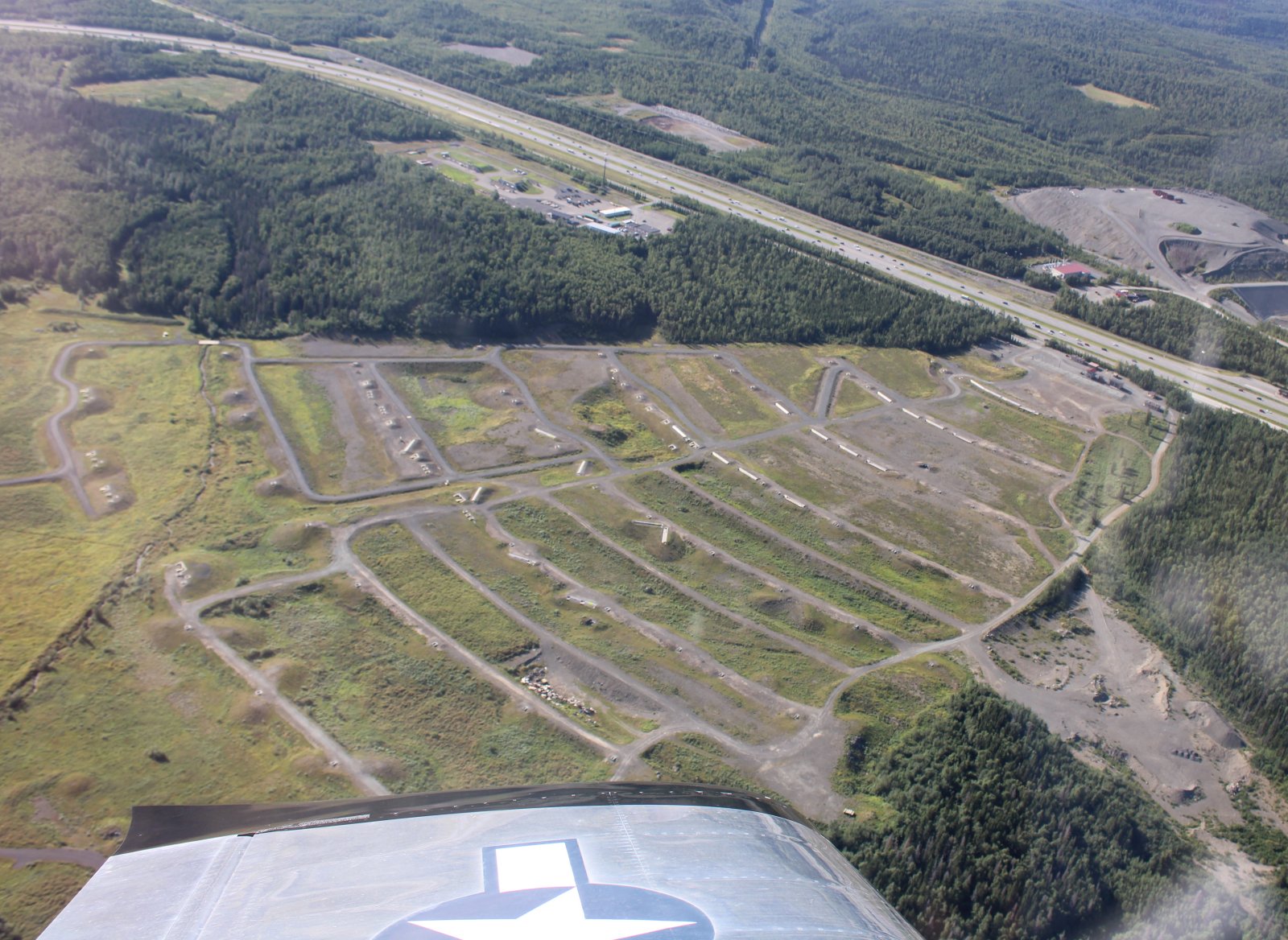
| I couldn't figure out what this was at the time, but I found out later it is a military machine gun range. Surprisingly close to the highway, although it is facing away from it. |
| |
 |
|
|
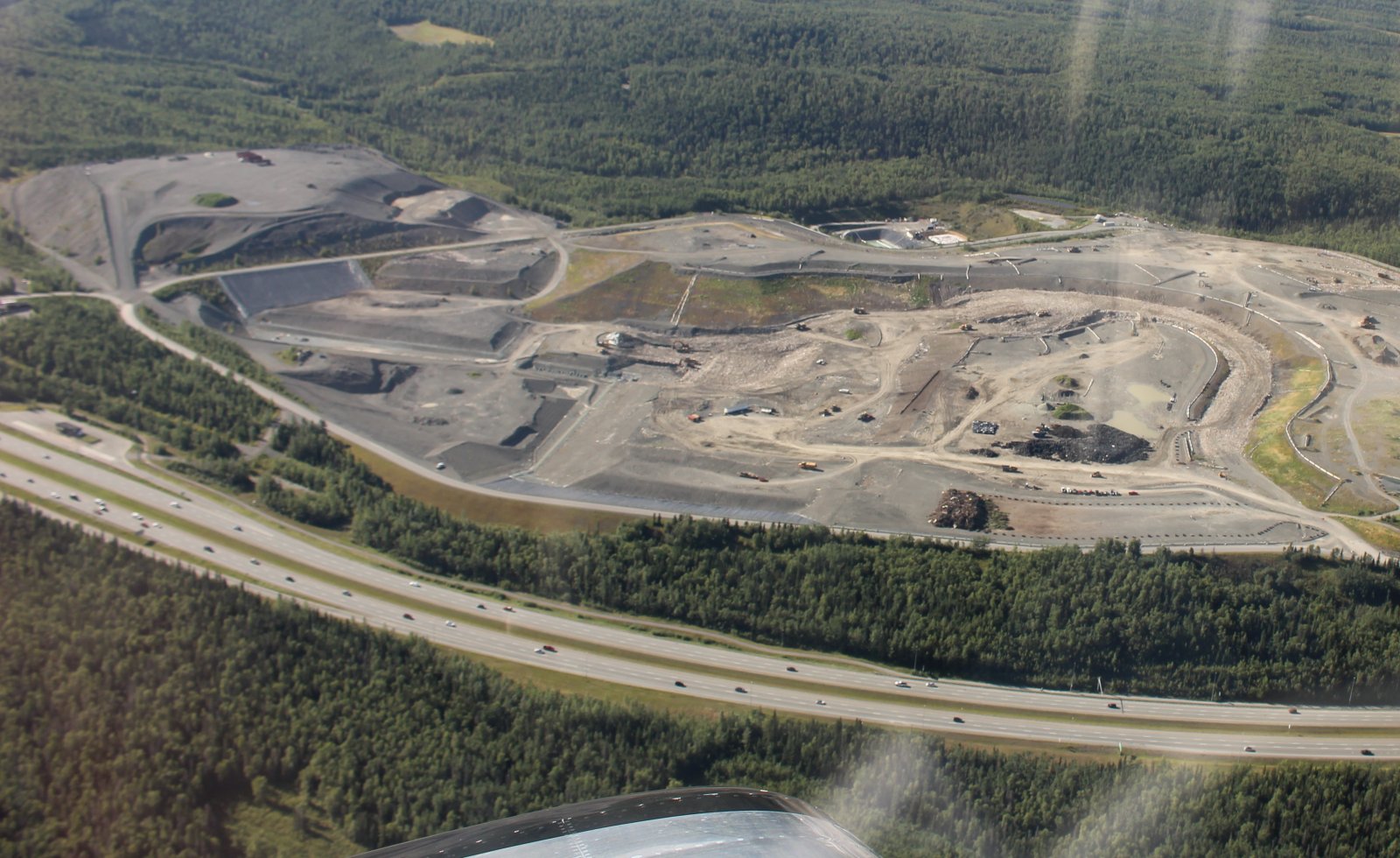
A huge landfill, again close to the highway but it is hidden from view by the trees. You can only see it from the air.
|
| |
 |
|
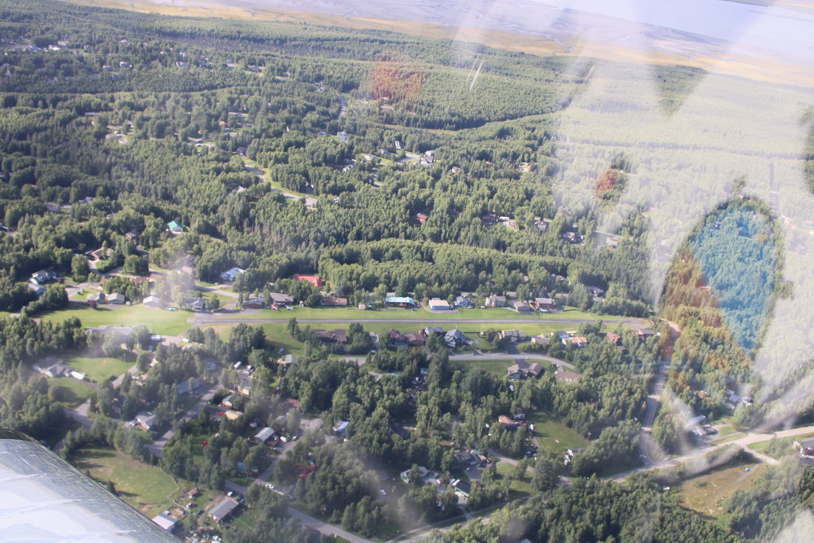
| Another private airport community strip. |
| |
 |
|
|
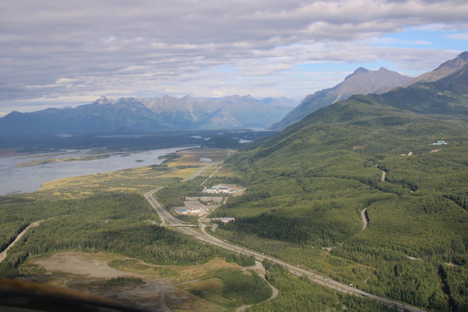
A nice shot of Highway One as it heads north towards Palmer and Wasilla.
|
| |
 |
|
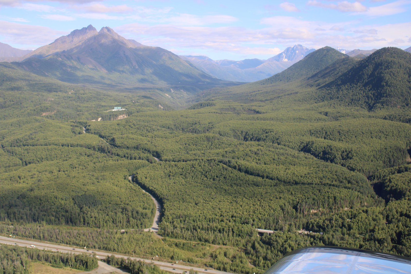
| Looking east into the Chugach Mountains. |
| |
 |
|
|
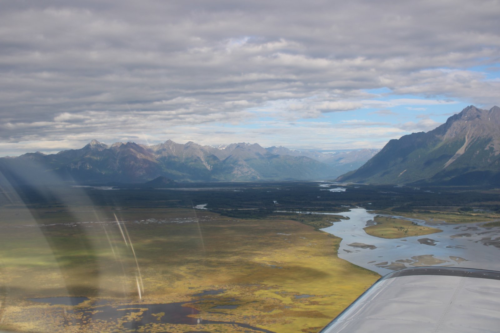
Looking east up the Matanuska and Knik Rivers which both flow into the Knik Arm.
|
| |
 |
|
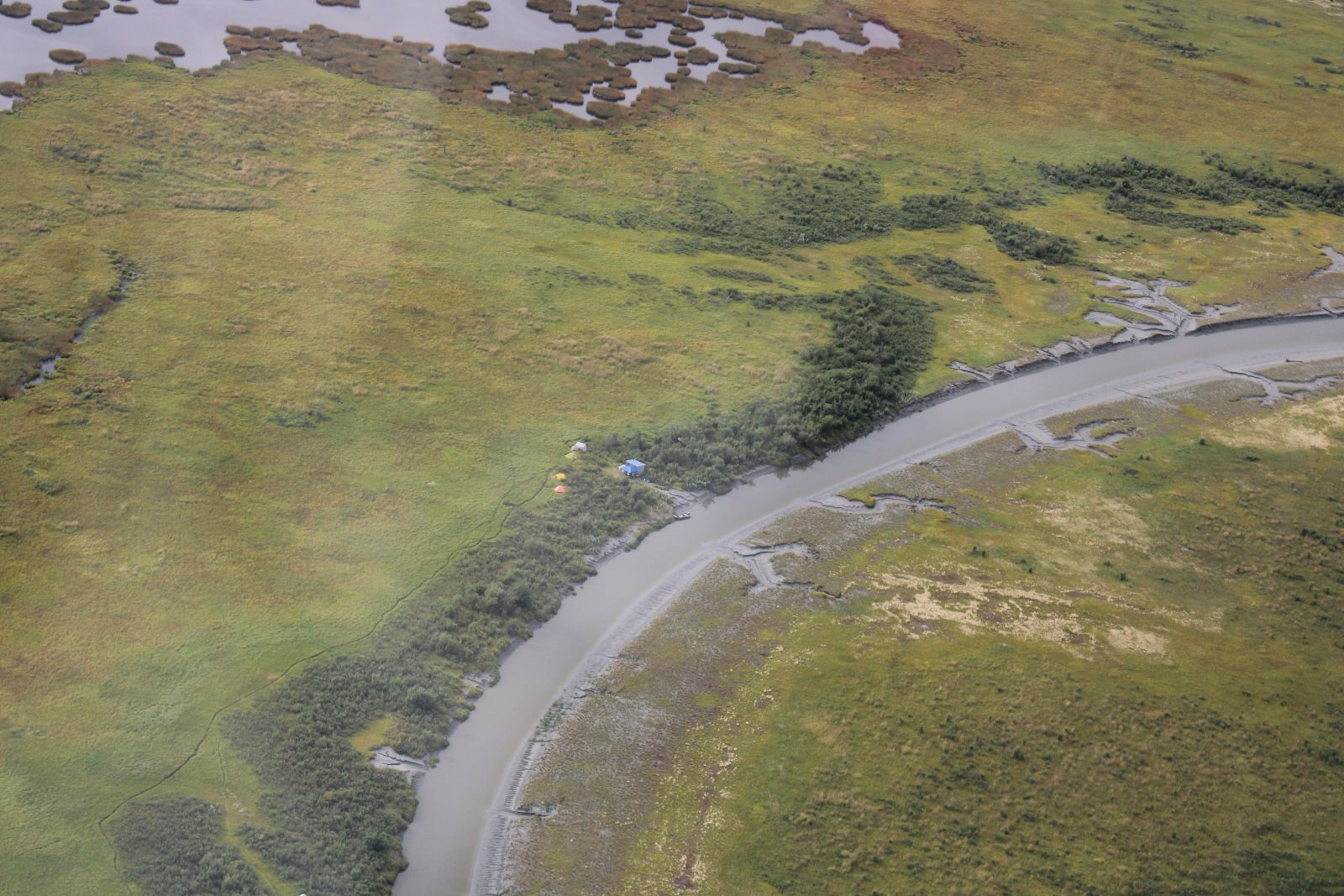
| A campsite along a little river. |
| |
 |
|
|
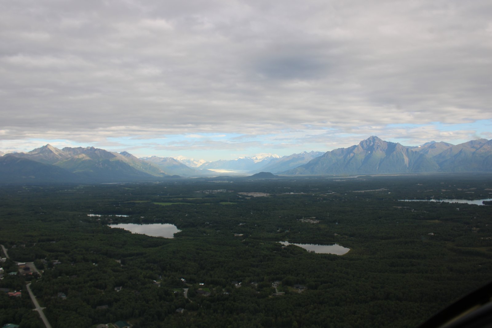
Almost back to Wolf Lake, one final look east at Knik Glacier and Pioneer Peak (6,400-feet) on the right.
|
| |
 |
|
|
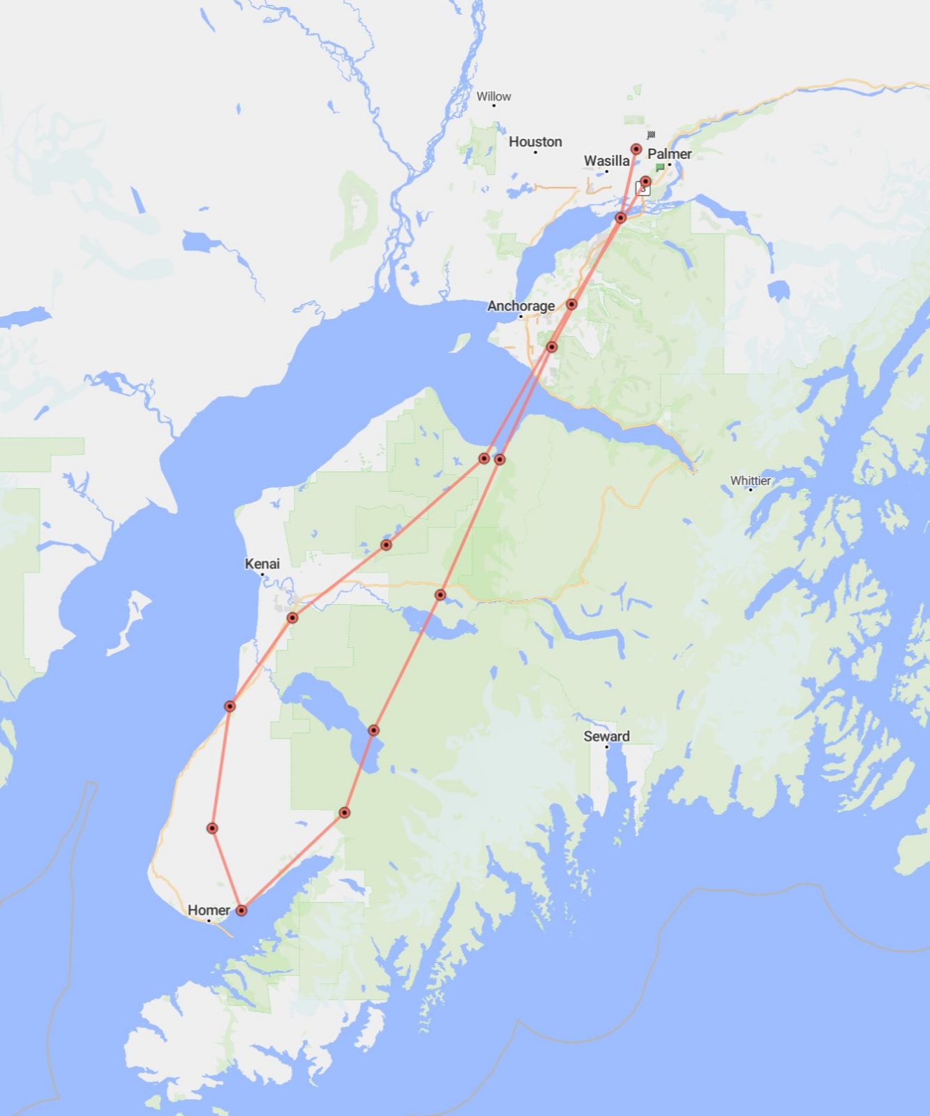
The SPOT Track for today's flight.
|
| |
 |
|
| |
| |
|
|
|
|
|
|


